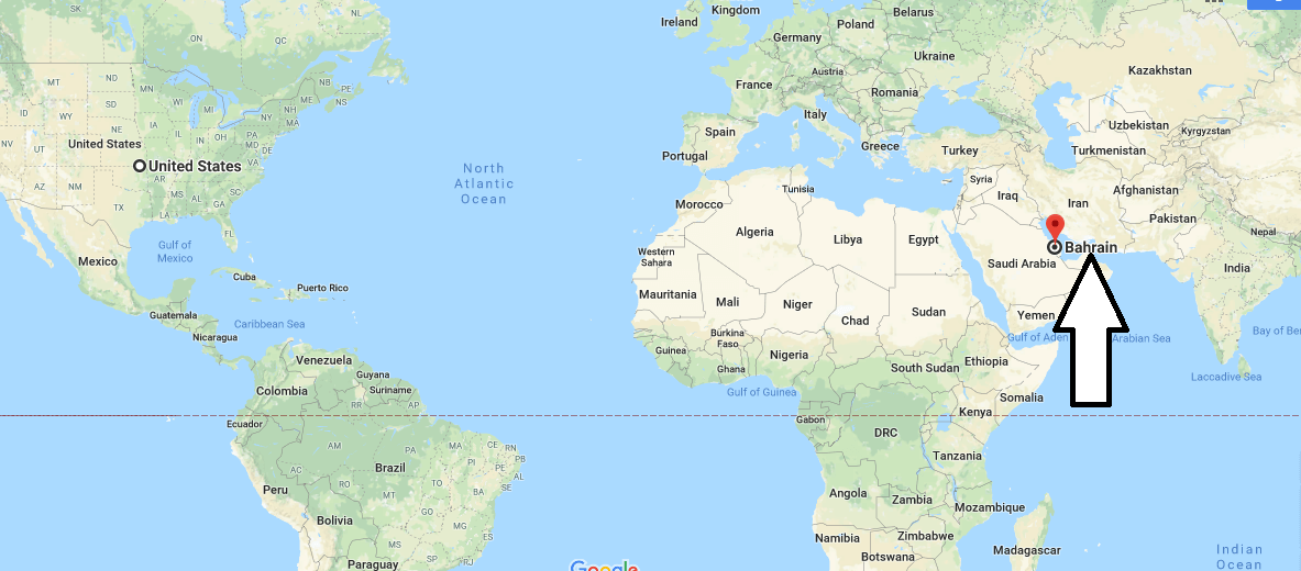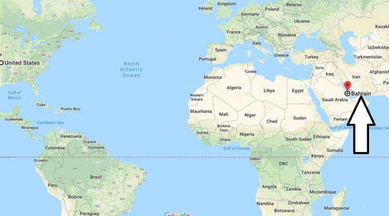
Where is Bahrain? / Bahrain Located in The World Map?
Where is Bahrain? / Bahrain Located in The World Map? – state of Bahrain is located in the region of south-western Asia. This is the only island Arab state that is located in the waters of the Persian Gulf. Bahrain became an independent state in 1971. The country includes 33 different islands (the largest of them is the eponymous island of Bahrain).
Where is Bahrain?
Despite its small size, Bahrain is in the Organization of Arab countries exporting oil to the world market. In addition to oil exports and trade, the country also has a great tourist potential. This is due to the good location of the state, mild climate, and tidy beaches in the country where centuries-old sights are combined with modern leisure standards.
Quick facts
| Population | 1,248,348 |
| Density | 1,642.6 / km2 ( 4,254.2 / mi2 ) |
| Language | Arabic |
| Independence Year | 1971 |
| Capital | Manama (Manama) |
| Currency | Bahraini Dinar |
| GDP | 33,868,989,362 (2014 data) |
| GDP per Capita | 27,131 (2014 data) |
| Land Area | 760 km2 (293 mi2) |
| Minimum Longitude | 50.377 |
| Maximum Longitude | 50.820 |
| Mininum Latitude | 25.790 |
| Maximum Latitude | 26.307 |
Map of Bahrain
Picture of Bahrain