
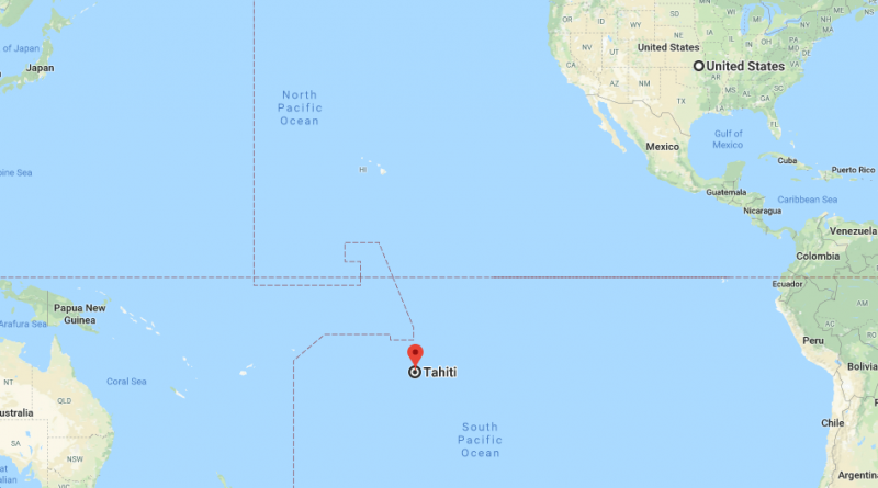
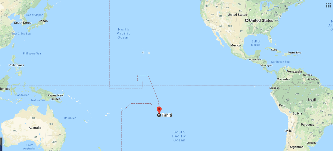
Where is Tahiti? Located On The World Map
Where is Tahiti? – Tahiti’s other name French Polynesia. Tahiti is one of furthest island in the World and largest island of French Polynesia. The most famous island of Tahiti is Bora Bora land.
When to go and How to get?
Best time to go to Tahiti is between march and octaber. Because rest of time might very likely to be rainy. The hottest month of year is between march and april with average daytime temperature of 31 degrees. It is very crowded in july month and agust month. Even price is highest. You can get these islands with air plane. You can find plane from everywhere of world. Air Tahiti is flying directly from such as New York, Tokyo, Sydney, Auckland cities. It lasts five hours from New Zeland to Tahiti with plane. You can use Air Tahiti nn flights within the country. You can not use schengen visa. You can have take land visa from the French Embassy. If you will use US transit flights, Then you will need US visa.
Map of Tahiti
Picture of Tahiti
I see you don’t monetize whereismap.net, don’t waste
your traffic, you can earn additional cash every month with new monetization method.
This is the best adsense alternative for any type of website (they approve all
sites), for more info simply search in gooogle: murgrabia’s tools
It would help a great deal if the people who write the titles and names of the countries and islands could spell them properly. There are multiple spelling errors in the names of countries on your maps, one example being New Zealand spelt New Zeland. There are also multiple grammatical errors that suggest that the writers are not fully English educated. We do not mind errors in translation occasionally but if you are writing in English please do so accurately.