
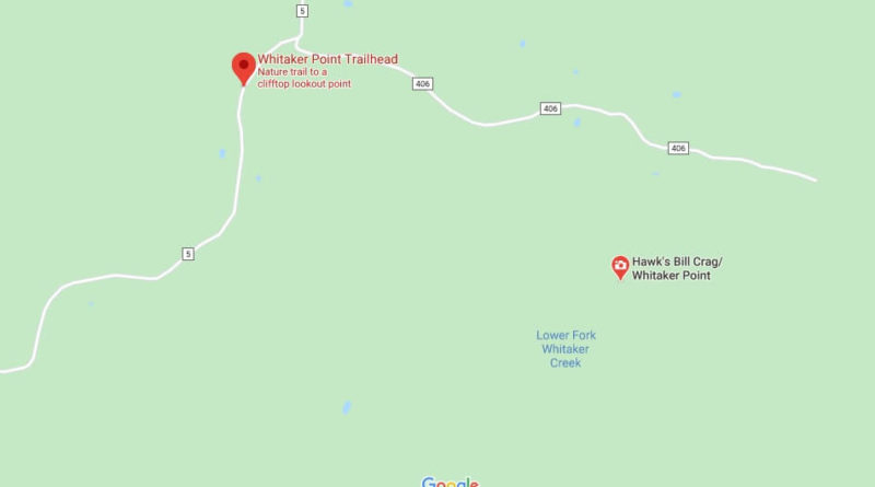
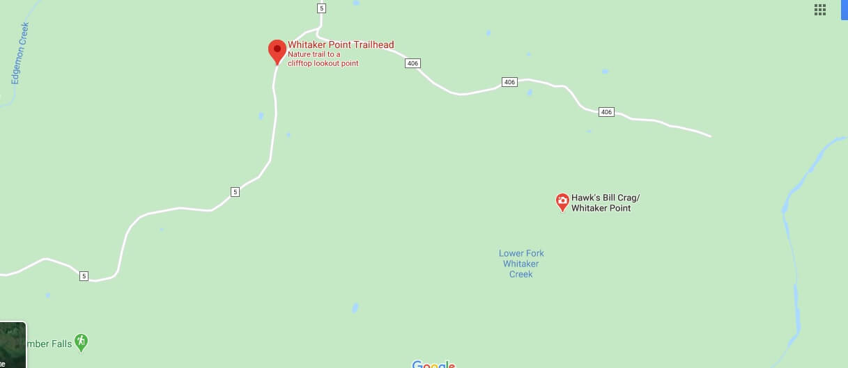
Where is Whitaker Point? How do I get to Whitaker Point?
Where is Whitaker Point?
Whitaker Point Trail (Hawksbill Crag) is a 4.7 Kilometer long, heavily visited round trip trail near Pettigrew, Arkansas.
It runs along a river, through beautiful forest and there is a waterfall and beautiful wildflowers. Due to the slope and distance, the course is classified as moderate. There are various activities. The Route is accessible all year round. Dogs are allowed but must be kept on a leash.
How long is the Whitaker point hike?
How long is Hawksbill Crag Trail?
How many people fall from Hawksbill Crag?
How do I get to Hemmed in Hollow?