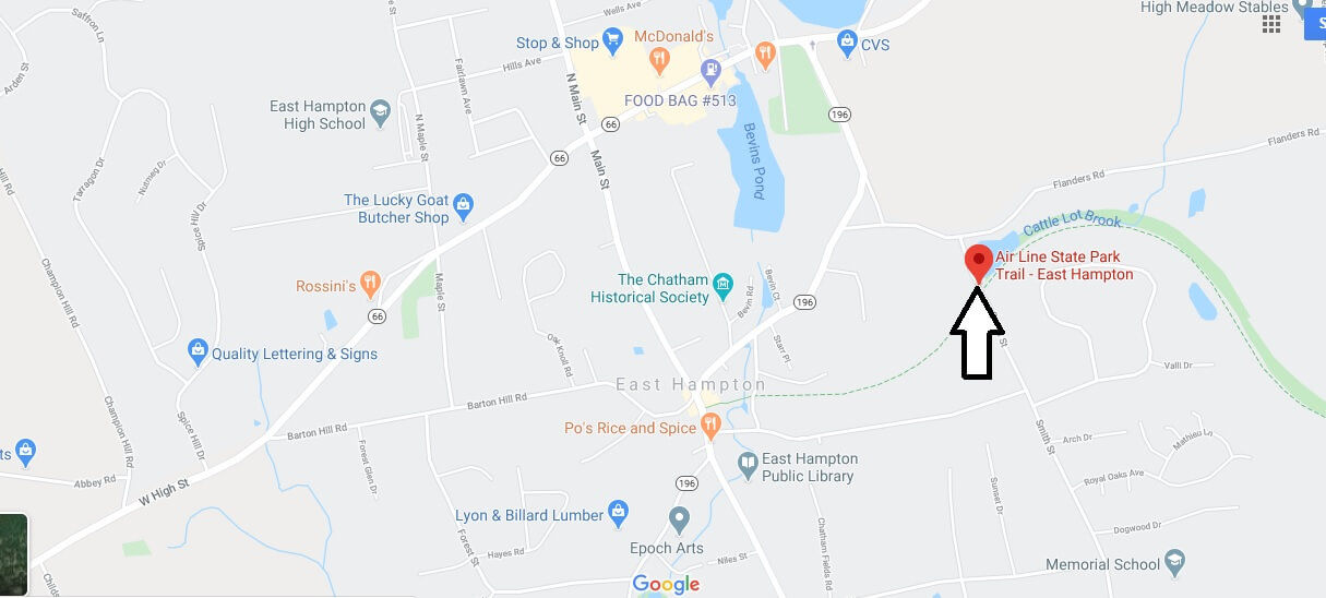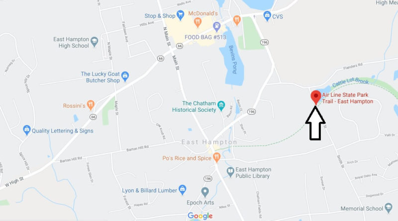
Where is Airline Trail?
The Air Line State Park Trail stretches from East Hampton to the Massachusetts border in East Thompson and is a mecca for hiking, biking and horseback riding in Eastern Connecticut.
The trail was built along the old Air Line Railroad Route, which provided a direct route from Boston to New York from the end of the 19th century. The line was severely damaged in the mid-fifties by the floods that plundered Connecticut and was no longer operational. The state took over, and the more than 80 kilometers of trails laid out along the old railway line are generally flat and wide. Perhaps the most interesting point along the way is the Lyman Viaduct, the highest railroad bridge in Connecticut, which spans a deep gorge above Dickinson Creek.