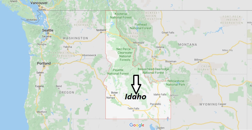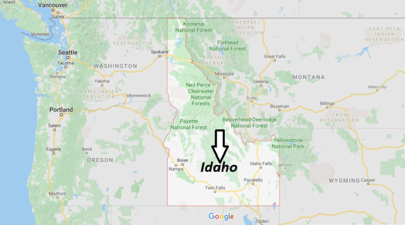
Idaho Map and Map of Idaho, Idaho on Map
Idaho Map
Idaho. The state is located in the Rocky Mountains region of the United States; it is bordered to the north by the Canadian province of British Columbia, to the East by Montana and Wyoming, to the South by Utah and Nevada, and to the West by Oregon and Washington.
Part of the eastern border of Idaho forms the Continental Divide or North American cordillera (the crest of the Rocky Mountains), and the stream of the Snake River forms part of the western boundary of the state. Its principal cities are Boise (the capital), Pocatello, Idaho Falls, Nampa, Lewiston, and Twin Falls.