
Guatemala Map and Map of Guatemala, Guatemala on Map
Guatemala Map
Guatemala, officially the Republic of Guatemala, is a Central American country with peculiar characteristics and an indigenous culture that is the product of the Mayan Heritage and Spanish influence during the colonial period. At the same time it is a country with great natural beauty.
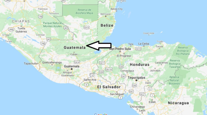
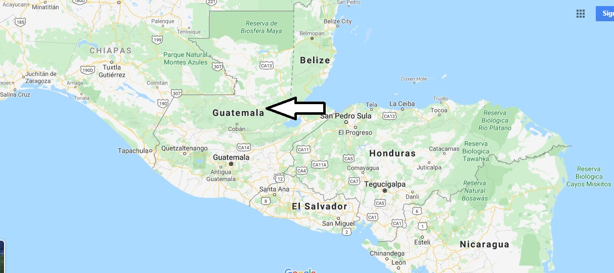
Despite its size, Guatemala has a great variety of climate and biological product of its mountainous terrain that goes from 0 meters above sea level to 4,220 meters above sea level, this means that in the country there are ecosystems so varied, ranging from the mangrove wetlands of the pacific to the cloud forests of the high mountains. It is bordered to the West and North by Mexico, to the East by Belize and the Gulf of Honduras, to the southeast by Honduras and El Salvador, and to the South by the Pacific Ocean.
The country has 108,889 km2 (the Republic of Guatemala maintains a territorial dispute with Belize for 12,000 km2). Its capital is Guatemala City, officially called Nueva Guatemala de la Asunción. Its indigenous population makes up one third of the country’s population. The official language is Spanish, it also has 23 Mayan languages, the xinka and Garifuna language, which is spoken by the Afro-descendant population.


What are the countries that border Guatemala?
Where is Guatemala located?
Where is Guatemala on the world map?
Is it safe to travel to Guatemala?
What is Guatemala famous for?
What do they eat in Guatemala?
Is Guatemala part of Mexico?
Is Guatemala considered a Third World country?
How do you pronounce Guatemala?