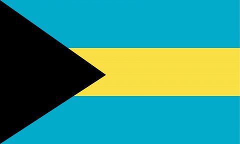
Flag of Bahamas
The Bahamas is a sovereign state and a member of the commonwealth since 1973. They consist of a group of 20 large islands and more than 600 small islands between 27°35′ and 19°55′ north latitude, extending from the Northwest to the Southeast, over a length of about 1300 kilometres, from the eastern coast of the Florida peninsula (Cape Canaveral), to the northern coast of the island of Haiti.
Taken together, the Bahamas (or Lucayes) islands have an area of 13,940 km2. They are bathed: to the West, by the Florida canal, or New Bahama canal, also called the bemini Strait, which separates them from Florida and through which the current of the Gulf escapes; to the South, By The Old Bahama canal, which separates them from the island of Cuba; to the Southeast, to the Northeast and to the North by The Atlantic Ocean. Their extreme points are, to the Northwest, Matanilla bank, to the Southeast, Natividad bank.


