
Where is Praia? What Country is Praia in? Praia Map
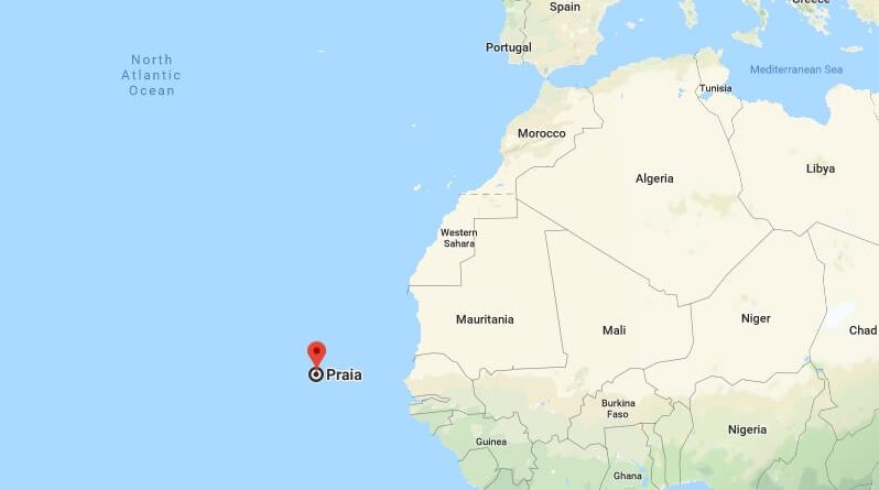
Praia is the capital and largest city of Cape Verde. Praia is part of the Sotavento Islands group. Praia is located on the southern coast of Santiago Island. Praia is an island city and is the most important commercial center in the country.
Where is Praia?
Praia attracts attention with its natural beauty. These are the places to visit in the city. Located in the city centre, Governor General Alexandra Alberto da Rocha de Serpa Pinto’s statue, the old municipal building built in 1920, the city’s most important museum, the Ethnography Museum opened in 1997, the 19th century. the presidential palace built at the end of the century, the Jaime Mota barracks built in 1826 in accordance with the characteristics of colonial architecture, and the Old City District 10 km west of the city.
Praia has a temperate desert climate. The best time to visit the city is between March and July, where the rainfall is reduced. Direct flights or transfers from America to Praia are provided.
Quick facts
| Country | Cabo Verde |
| Province | Praia |
| Population | 113,364 |
| Elevation | 18 m over sea level |
| Time Zone | CVST |
| Longitude | -23.512540 |
| Latitude | 14.931520 |
What country does Cape Verde belong to?
Where is Cape Verde located?
What is Cape Verde famous for?
Is Cape Verde a third world country?