
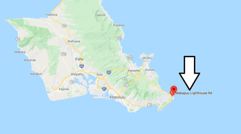
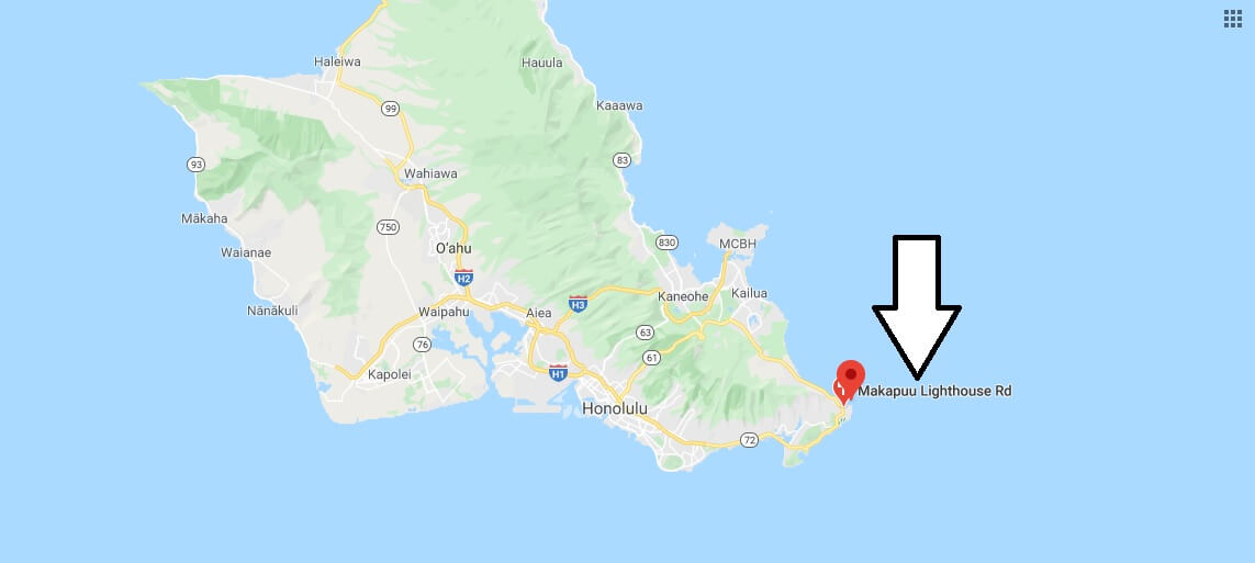
Where is Makapuu Lighthouse? How do you get to the Makapuu Lighthouse?
Where is Makapuu Lighthouse?
What: a moderate hike to a picturesque viewpoint
Where: easternmost point on Oahu overlooking the Windward Coast
Additional information: parking, no sanitary facilities
Makapuu Point Lighthouse is located at the easternmost point on Oahu and is a shining lighthouse built in 1909 on a 183 m high cliff overlooking Makapuu Beach. The sandy beach is considered one of the best beaches for body surfing on Oahu. The family-friendly Sea Life Park is also located here.
Fifteen minutes outside of Hanauma Bay and past Sandy Beach (another popular beach) you will find a large parking lot that leads to the 3.2 km paved path overlooking the lighthouse. The lighthouse has been recently renovated and the path has also recently been paved. Additional viewpoints have also been added. This moderate hike rewards you with breathtaking views of the indigo blue sea and the Windward Coast in eastern Oahu. In the distance you can even see the island of Molokai. Two other small islands, Manana (the larger of the two, also known as Rabbit Island) and Kaohikaipu are also visible off the coast.
How far is the Makapuu Lighthouse hike?
Is Makapuu Lighthouse Trail Hard?
What time does Makapuu Lighthouse close?
How long is Lanikai Pillbox hike?
How long is the Diamond Head hike?
How long does it take to hike Manoa Falls?
How do you get down to Makapuu tide pools?
How long is Lighthouse Park Trail?