
Where is Konya Located? What Country is Konya in? Konya Map
Where is Konya Located?
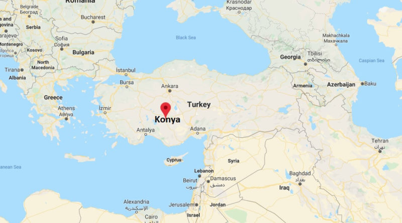
Konya is the capital of the Turkish province of the same name, the largest province in Turkey. The city is famous for the Mevlana Museum, a place of pilgrimage.
The city is located about 200 km south of Ankara at about 1,200 m altitude. The former Greek Name of the city was Iconium. In the Bible, Iconion is mentioned especially in the acts of the apostles and in the travels of the Apostle Paul.
What Country is Konya in?
Konya is 245 km from Antalya. The road is well developed. After Nevşehir (Cappadocia)it is another 225 km. It is 335 km to Adana, 262 km to Ankara.
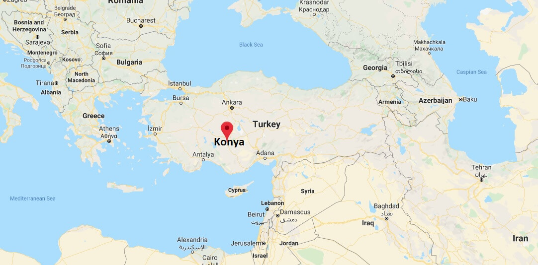
Konya Map
Where is present day Konya?
How far is Konya from Istanbul?
How old is Konya?
Where is Rumi’s tomb?
How far is Konya from Antalya?
What does Konya mean?
How far is Konya from Ankara?
Where was Anatolia?
Nice to know