
Dodoma Map and Map of Dodoma, Dodoma on Map
Dodoma Map
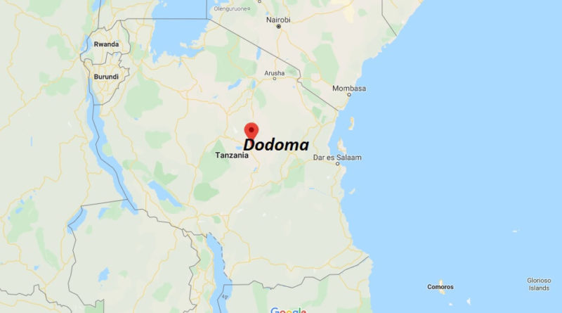
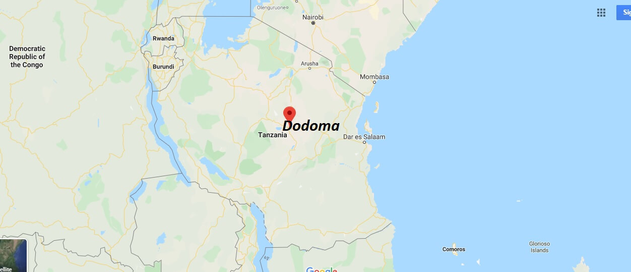
Dodoma, the third largest city in Tanzania and capital of the African country, is also the capital of the Dodoma Region. The city covers an area of 2,669 km2 and is located at 1,135 msnm (meters above sea level), is located between the coordinates: 6°10’19″s 35°44’29″E?.
The name of the city is derived from the word “Idodomya”, which in Chigogo means “has sunk” which according to legend comes from the story of an elephant who came to drink water to a small river passing by, and got stuck in the mud and in the end in his tireless struggle to get out little by little he sank into the mud until he disappeared and the villagers when they saw that scene before their own eyes exclaimed, “idodomya!” and it is since then that the place was known as Idodomya, the place where the elephant “has sunk” and has thus been recorded in history to this day.


What country is Dodoma the capital of?
Why did Tanzania move its capital?
How many districts are there in Dodoma?
Is Tanzania safe?
What does Dodoma mean?
How far is Dodoma from Dar?
When did Dodoma become Dodoma?
What is Tanzania famous for?