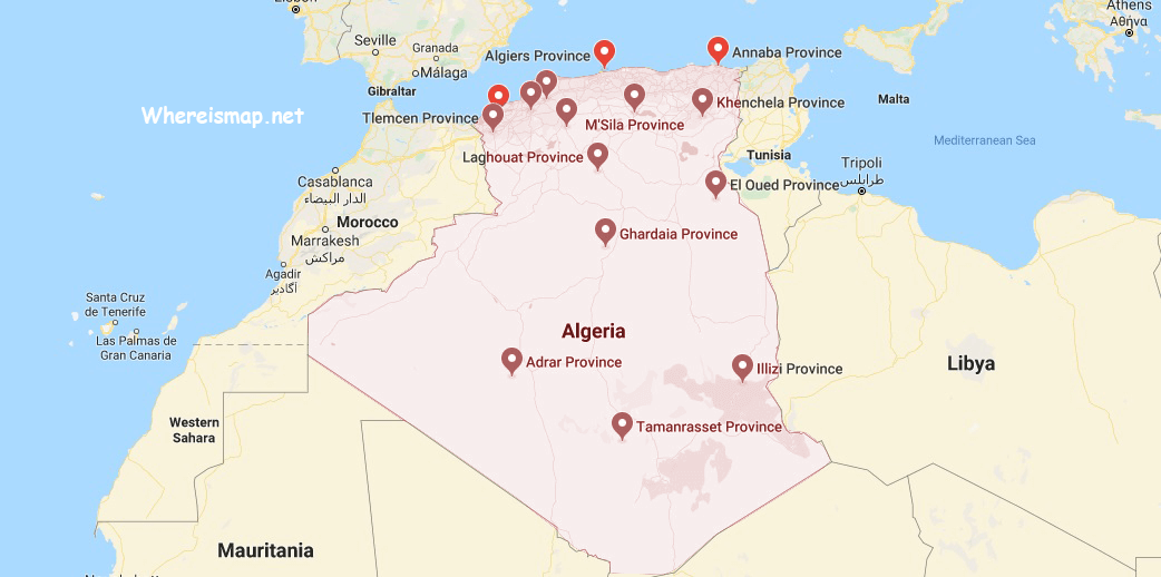
Algeria Map and Map of Algeria, Algeria on Map
Algeria Map
Algeria. Its official name is the people’s Democratic Republic of Algeria, a country in North Africa bordering the Mediterranean to the north, Mali and Niger to the south, Tunisia and Libya to the east, Morocco and the Saharawi Republic to the West and Mauritania and Mali to the southwest. It has four regions: the coastal mountain range, called The Tell Atlas, the region of high plateaus before the Sahara, the Saharan Atlas range and the Sahara Desert.