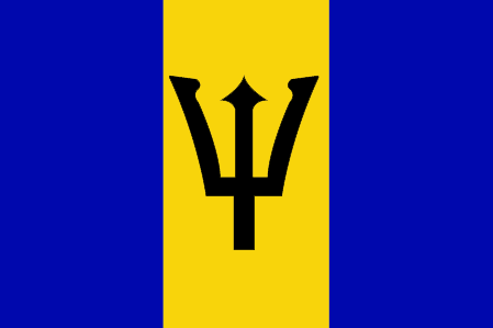
Flag of Barbados
Barbados is the easternmost of the Lesser Antilles, in the Leeward Islands (Leeward Islands) Group, 150 kilometres east of Saint Vincent, at 13° 10′ north latitude and 59° 32′ west longitude.
It has the shape of a very irregular triangle and its southwest coast is strongly convex between Needhamspoint and Kitridgepoint; 34 kilometers long and 23 wide, it has an area of 431 km2. The soil is limestone, rising from the coast. The most rugged part is in the northeast of the island.
The highest point is mount Hillaby (336 m), in the parish of Saint-André. The shoreline is, almost everywhere, surrounded by a belt of fringing reefs built by corals, which make access difficult. There are a few small rivers in the island that go out from the mountainous north-east to the West and east coasts : the main one is Scotland, which empties into the East Coast, in Long-Bay.


