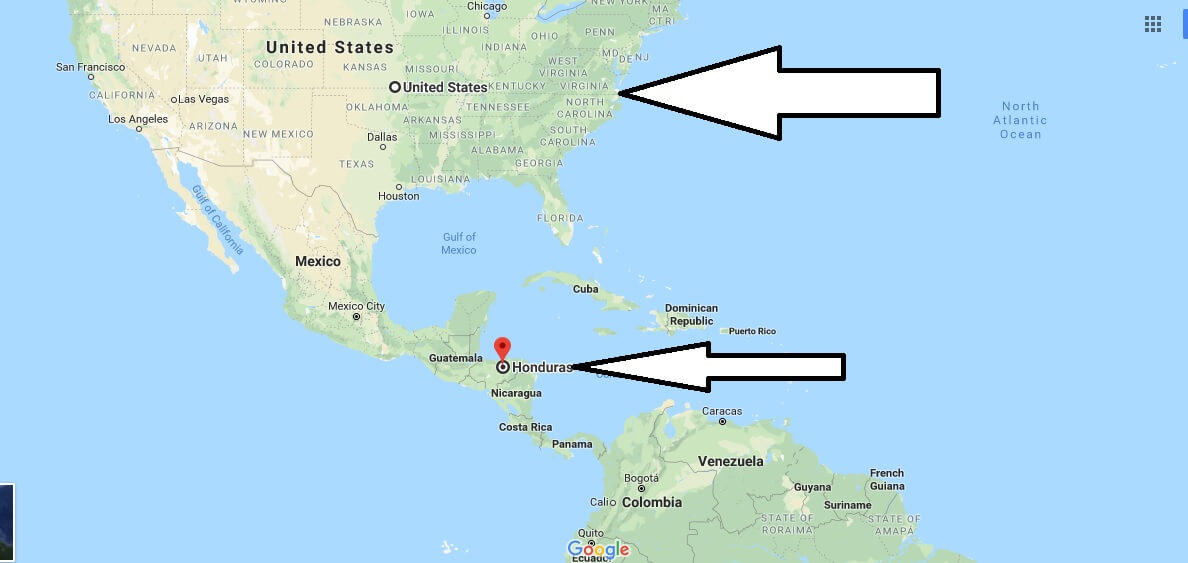
Where is Honduras? Located in The World? Honduras Map
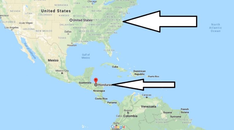
Where is Honduras? / Where is Honduras Located in The World? / Honduras Map – It is easy to determine where Honduras is on the world map. It is enough to pay attention to Central America. However, if we talk about the continent and part of the world, then Honduras occupies part of the territory of North America.
Where is Honduras?
However, in fact, this state is located on the isthmus, which is located right in the center.
Honduras in the south borders with Nicaragua, the northern border divides with Guatemala, and in the northwest the line passes near the lands of El Salvador. The country’s territory for the most part is a highland. The shores of Honduras are washed by the Caribbean Sea and Fonseca Bay, which is part of the Pacific Ocean basin. This location can be called very successful, because travelers have the opportunity to choose the most comfortable conditions for recreation.
Quick facts
| Population | 8,296,693 |
| Density | 74.2 / km2 ( 192.0 / mi2 ) |
| Language | Spanish |
| Independence Year | 1838 |
| Capital | Tegucigalpa (Francisco Morazan) |
| Currency | Lempira |
| GDP | 19,385,309,986 (2014 data) |
| GDP per Capita | 2,337 (2014 data) |
| Land Area | 111,890 km2 (43,201 mi2) |
| Water Area | 200 km2 (77 mi2) |
| Neighbouring Countries | Guatemala, Nicaragua, El Salvador |
| Minimum Longitude | -89.350 |
| Maximum Longitude | -83.150 |
| Mininum Latitude | 12.980 |
| Maximum Latitude | 16.510 |
Map of Honduras
Picture of Honduras


