
Where is Haiti? Located in The World? Haiti Map
Where is Haiti? / Where is Haiti Located in The World? / Haiti Map – The territory of Haiti as if especially was created for relaxation. The Dominican Republic, which occupies the most part, is a paradise on earth, a secluded corner of the planet where rest can help any tourist.
Where is Haiti?
Incredible beauty landscapes, warm Caribbean water and slightly cool Atlantic Ocean, delicious local cuisine, tranquility, and pacification, that’s what Haiti is!
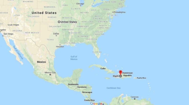
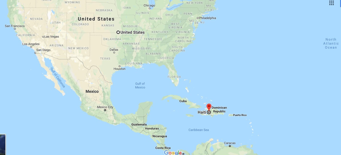
The island of Haiti is the second largest among the Greater Antilles. It is located in the West Indies, washed on one side by the Caribbean Sea, and on the other by the Atlantic Ocean. If you look at the map of the world, it will be seen that the island is located between Cuba and Puerto Rico.
Quick facts
| Population | 9,801,664 |
| Density | 355.6 / km2 ( 921.1 / mi2 ) |
| Languages | French, Haitian |
| Independence Year | 1804 |
| Capital | Port-au-Prince (Ouest) |
| Currency | Gourde |
| GDP | 8,713,031,260 (2014 data) |
| GDP per Capita | 889 (2014 data) |
| Land Area | 27,560 km2 (10,641 mi2) |
| Water Area | 190 km2 (73 mi2) |
| Neighbouring Country | The Dominican Republic |
| Minimum Longitude | -74.480 |
| Maximum Longitude | -71.610 |
| Mininum Latitude | 18.020 |
| Maximum Latitude | 20.090 |
Map of Haiti
Picture of Haiti
What country does Haiti belong to?
Where is Haiti geographically located?
Where is Haiti located at?
What countries surround Haiti?
How did Haiti get its name?
Is all of Haiti in poverty?