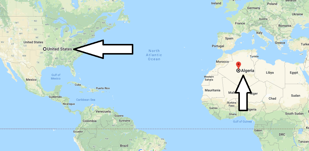
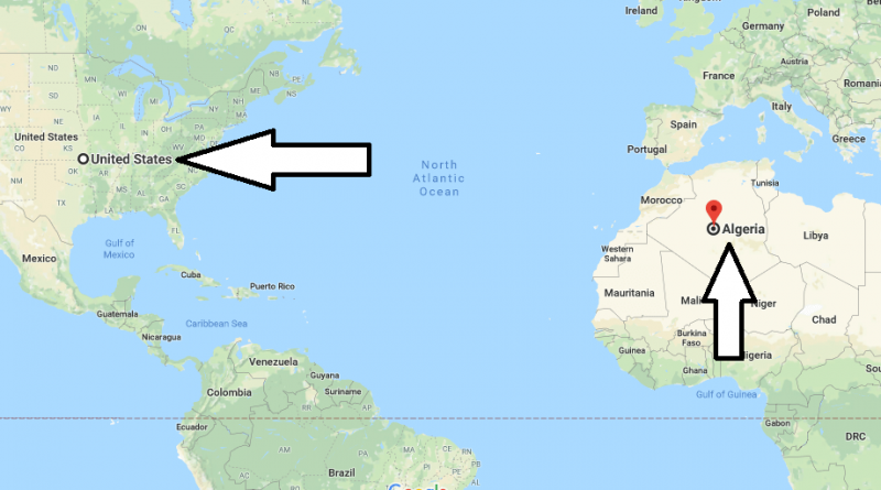
Where is Algeria? Located in The World? Algeria Map
Where is Algeria? / Where is Algeria Located in The World? / Algeria Map – Algeria is an Arab country in North Africa. Algeria is that largest country in Africa, it’s a neighbor of the border with Libya in the East, Tunisia in the Northeast, Niger in the Southeast, Mauritania in the southwest, Mali in the West, Morocco in the West and Sahara in the West.
Where is Algeria?
Algeria means the white country. The reason why this name was given to the country, most buildings in the country are painted white. Algeria is that was hosts to many civilizations, it is very rich in historical places. The country’s capital is the Algerian city with the same name as the country where the sea and the desert meet. The official languages of the country are Arabic, Berber and French.
The official religion of the country is Islam. The country’s currency is Algerian dinar. Algeria is a country on the Mediterranean coast and has a Mediterranean climate and desert climate. The best time to visit the country is spring and summer months. Algeria has many scenic places and historical structures. Algeria is among the countries requiring a visa. There are direct flights from many countries of the world to Algeria.
Quick facts
| Population | 35,406,303 |
| Density | 14.9 / km2 ( 38.5 / mi2 ) |
| Language | Arabic |
| Independence Year | 1962 |
| Capital | Algiers (Alger) |
| Currency | Algerian Dinar |
| GDP | 214,000,000,000 (2014 data) |
| GDP per Capita | 6,044 (2014 data) |
| Land Area | 2,381,741 km2 (919,595 mi2) |
| Neighbouring Countries | Libya, Morocco, Tunisia, Mali, The Niger, Western Sahara, Mauritania |
| Minimum Longitude | -8.670 |
| Maximum Longitude | 12.000 |
| Mininum Latitude | 18.960 |
| Maximum Latitude | 37.090 |
Map of Algeria
Picture of Algeria

What is the location of Algeria?
Where is the Algeria located?
Is it safe to travel to Algeria?
Is Algeria rich?

