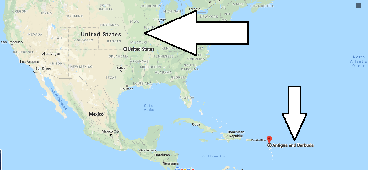
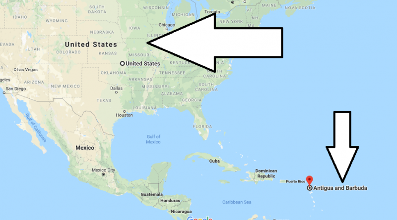
Where is Antigua and Barbuda? Located On the World Map
Where is Antigua and Barbuda? Located On the World Map – Antigua and Barbuda is location east of Caribbean Sea and a smaller land country in Small Antilles in the island group. Antigua and Barbuda islands total area 440 square kilometers.
Where is Antigua and Barbuda?
ST Johns city is capital city of Antigua and Barbuda in Antigua island. It had lived as a British colon a long time. Despite it has officially language british english but, people of island talked with a unique accent englisg language. A big part of population of country are Protestant.
Antigua and Barbuda has a tropcal climate and it is no severe temperature difference between winter season and summer season. Therefore, The country have been sunny days live every month of year. ST Jean city (capital city of island) have a international arport. You can direct go to from London to Antigua.
Lastly, Antigua and Barbuda are that has a great beatiful view, You can find there are many historical sites and natural beauty place.
Quick facts
| Population | 89,018 |
| Density | 200.9 / km2 ( 520.4 / mi2 ) |
| Language | English |
| Independence Year | 1981 |
| Capital | Saint John’s (Saint John) |
| Currency | East Caribbean Dollar |
| GDP | 1,269,117,037 (2014 data) |
| GDP per Capita | 14,257 (2014 data) |
| Land Area | 443 km2 (171 mi2) |
| Minimum Longitude | -61.910 |
| Maximum Longitude | -61.670 |
| Mininum Latitude | 17.000 |
| Maximum Latitude | 17.730 |
Map of Antigua and Barbuda
Picture of Antigua and Barbuda

Is Antigua a country?
Is Antigua a United States territory?
What is the main religion in Antigua?
What is the continent of Antigua and Barbuda?


This writing is very poor. The grammar is improper and very hard to understand. It reads as though someone who is not familiar with English wrote it. It would be helpful to have more clear writing.