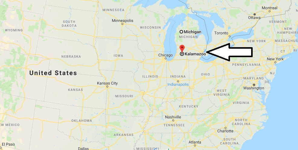
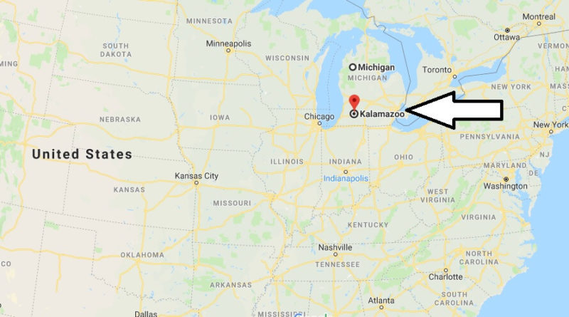
Where is Kalamazoo, Michigan? What County is Kalamazoo? Kalamazoo Map Located
Where is Kalamazoo, Michigan?
The described area includes the Counties (districts) Kalamazoo, Branch, Calhoun, St. Joseph and Van Buren with the cities of Kalamazoo, Battle Creek, Coldwater, Marshall and Paw Paw. It is located in the southwestern part of Michigan.
What County is Kalamazoo?
Kalamazoo is an important university town. The White Settlement began in 1829, the settlement was declared a city in 1883. In 1959, the first pedestrian area in the United States was established in Kalamazoo (Burdick Mall), which was abandoned in 1998. Kalamazoo is also an important industrial site. The pharmaceutical company Upjohn had its headquarters here, after the takeover by Pfizer there is still a large pharmaceutical factory. Stryker Corporation produces medical aids, including emergency wear. Checker Motors, the manufacturer of American taxis, had its seat here. In addition, the city has three (!) Brewery.
Removal
Fort Wayne in 143 km, Chicago IL 237 km
nearby cities
in Michigan: Benton Harbor, Grand Rapids, Jackson, Lansing
in Indiana: Elkhart, Fort Wayne
Kalamazoo Map Located

What is Kalamazoo Michigan famous for?
Is Kalamazoo Michigan a good place to live?
What is the cost of living in Kalamazoo Michigan?
Where is Kalamazoo County?
Is Kalamazoo Michigan safe?
What does the word Kalamazoo mean?
How populous is Kalamazoo?
Why is Kalamazoo named Kalamazoo?

