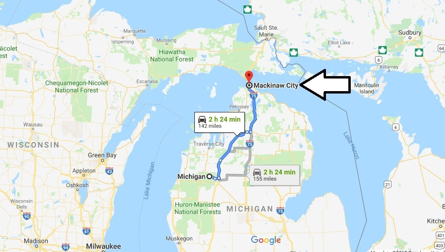
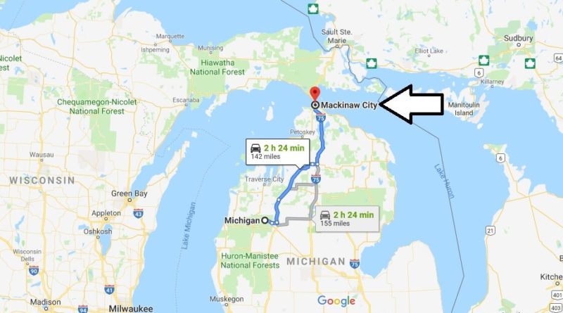
Where is Mackinaw City, Michigan? What County is Mackinaw City? Mackinaw City Map Located
Where is Mackinaw City, Michigan?
The area described here includes the Counties (districts) Emmet, Charlevoix, Cheboygan, Mackinac and Presque Isle with the cities of Mackinaw City, Cheboygan, Petoskey, Rogers City and St. Ignace. It is located in the Northern part of Michigan.
What County is Mackinaw City?
The village of Mackinaw City is located at the southern end of the Mackinac bridge, which allows the connection to the Upper Peninsula of Michigan. Together with St. Ignace on the other side of the Straits, it is the starting point for trips to the tourist Mackinac island. The city of Cheboygan is located at the mouth of the Cheboygan river into Lake Huron. The city of Rogers City is on Lake Huron. Annually, there are two salmon fishing tournaments. The largest limestone quarry in the world is located near the city.
Removal
Saginaw 277 km, Detroit 418 km, Chicago IL 546 km
nearby cities
in Michigan: Alpena, Sault Ste. Marie, Traverse City
Mackinaw City Map Located

Is Mackinaw City open in winter?
What is there to do in Mackinaw City?
How do you get to Mackinac Island?
Why is Mackinac Island pronounced Mackinaw?
Where do the Mackinac Island horses go in the winter?
How many miles around is Mackinac Island?
How late is Mackinac Island Open?
How much snow does Mackinac Island get?
Is the grand hotel open year round?

