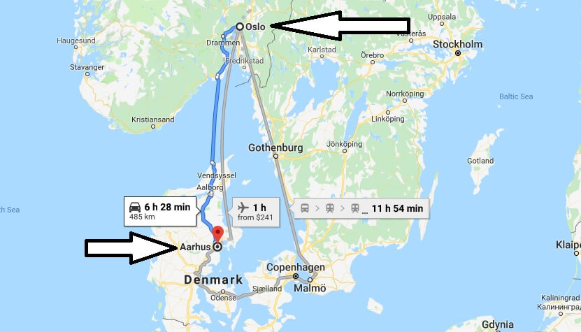
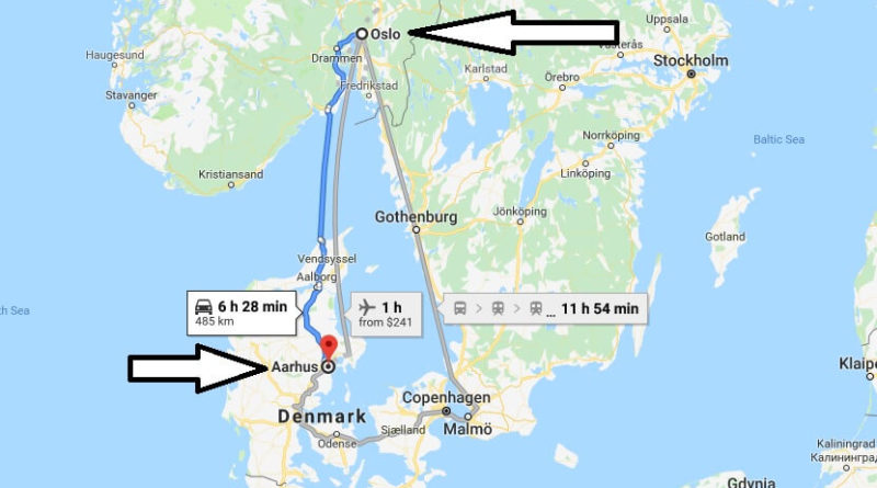
Where is Aarhus? What Country is Aarhus in? Aarhus Map
Where is Aarhus?
Aarhus is Denmark’s second largest city. Aarhus is one of the most important port cities in the country. It is also known as Arhus or Aarhus.
What Country is Aarhus in?
You can explore Aarhus in about 3-4 days. We’ve compiled the most important places to see in Aarhus for you. It is a famous city with museums, libraries, Cathedral and galleries. It is also possible to capture many colorful frames in the city.
Quick facts
| Country | Denmark |
| State | Central Jutland |
| Population | 237,551 |
| Elevation | 10 m over sea level |
| Time Zone | CEST |
| Longitude | 10.210760 |
| Latitude | 56.156740 |
| Airport | Aarhus Airport |
Aarhus Map

What does Aarhus mean?
How do I get to Aarhus?
How do I get from Copenhagen to Aarhus?
How populous is Aarhus?
What is the city of Denmark?
How many islands are there in Denmark?
What is Denmark famous for?
Is Denmark mountainous or flat?
Does Denmark own Greenland?
Is Greenland expensive to visit?
Is Greenland a poor country?
Is Iceland part of Denmark?


Pingback: Where is Aalborg? What Country is Aalborg in? Aalborg Map | Where is Map