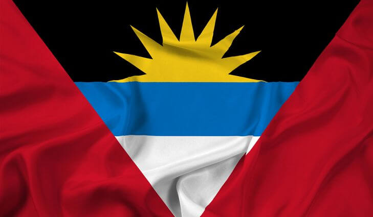
Flag of Antigua and Barbuda
Antigua and Barbuda is a sovereign State, a member of the british Commonwealth since 1981. It consists of two main islands, Antigua and Barbuda, and an islet (Rodonda), with a total population of 69,100 (2006), covering an area of 442.6 km2. They are Islands of the Sea and islands of the West Indies, in the group of Lesser Antilles, at 17 ° 03 ‘N and 61° 48’ W.
Antigua (or Antigoa) is located 64 kilometres to the North of Guadeloupe by 17° 2′ North latitude and 61° 48′ West longitude. It is 32 km long by 30 km wide. 280 km2. Its capital is John’s town or Saint John, with a port on the West Coast. Antigua has other ports, including one of the best in the West Indies, English Harbour, located on the south coast. The soil of the island is high but not raised (407 m at the Boggy Peak), and generally barren due to frequent droughts. However, a part of the territory produced in sufficient abundance of cotton, sugar, anise, tobacco, ginger, etc.


