Where is Guatemala? Located in The World? Guatemala Map
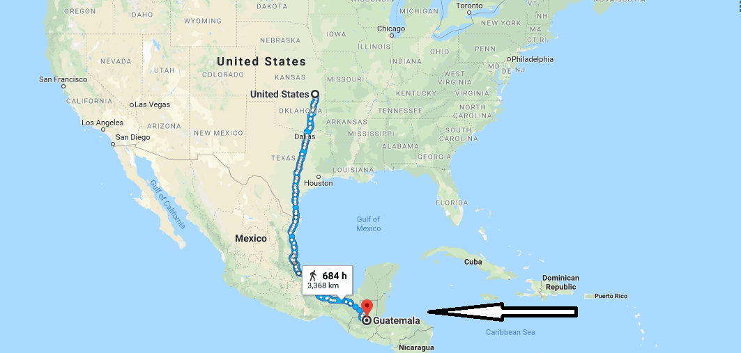
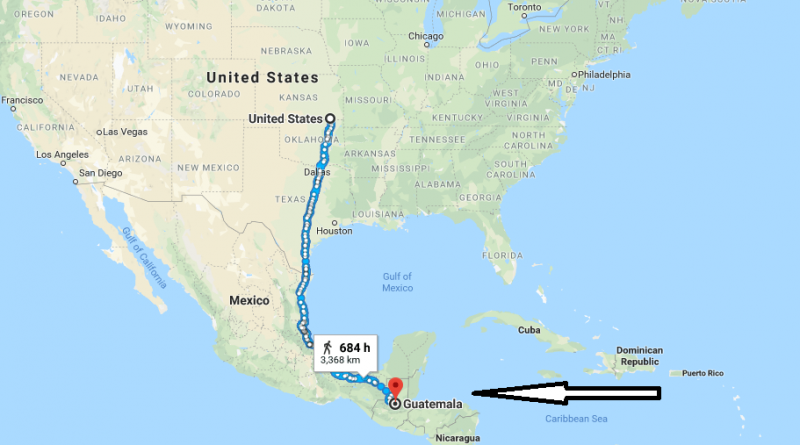
Where is Guatemala? / Where is Guatemala Located in The World? / Guatemala Map – Guatemala is a Central American country. Guatemala is located on a narrow land part that combines the North and South American continents. Besides, it’s north of Panama. Guatemala is a country in the south of the Great Ocean, the Caribbean Sea to the East and Honduras to the north and Mexico to the west, El Salvador to the Southeast, Belize to the northeast.
Where is Guatemala?
Guatemala has a surface area of 108.886 square kilometers. Guatemala is the capital city of Guatemala City. The official language of the country is Spanish. In addition, goat dialects are also used in the country outside of Spanish. The country’s currency is Quetzal. The majority of the people of the country believe in Christianity.
Because Guatemala remains in the equatorial belt, its climate is hot and humid. Guatemala is one of the countries that require visas. Direct flights from America to Guatemala are provided.
Quick facts
| Population | 14,099,032 |
| Density | 131.6 / km2 ( 340.8 / mi2 ) |
| Language | Spanish |
| Independence Year | 1839 |
| Capital | Guatemala City (Guatemala) |
| Currency | Quetzal |
| GDP | 58,728,232,327 (2014 data) |
| GDP per Capita | 4,165 (2014 data) |
| Land Area | 107,159 km2 (41,374 mi2) |
| Water Area | 1,730 km2 (668 mi2) |
| Neighbouring Countries | Mexico, Belize, Honduras, El Salvador |
| Minimum Longitude | -92.230 |
| Maximum Longitude | -88.230 |
| Mininum Latitude | 13.740 |
| Maximum Latitude | 17.820 |
Map of Guatemala
Picture of Guatemala


