Which country has most of the Sahara Desert?
Which 11 countries touch the Sahara Desert?
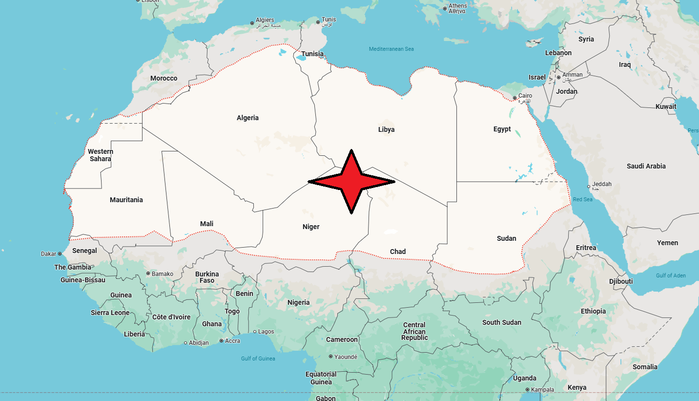
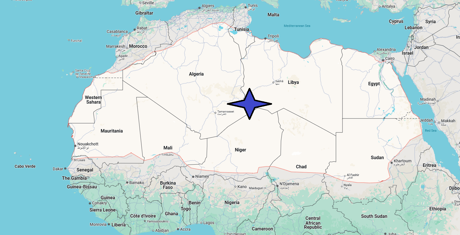
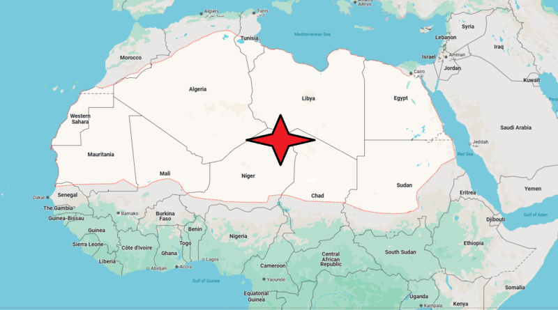
Vast desert region of northern Africa: in particular the term indicates the belt of arid lands that extends from the Atlantic Ocean to the Red Sea. It is the largest desert in the world: it extends for about 1600 km from north to south, for 5150 from east to west, and has a total area of over 9 million km2, of which about 207,000 are occupied by oases. The borders of the Sahara consist of the Atlantic Ocean in the west, the Atlas Mountains and the Mediterranean Sea in the north, the Red Sea in the east, the Sahel (Arabic term meaning “shore”, desert rim) in the south; these boundaries, however, are not clearly defined and have changed over millennia due to climate change and human intervention. The Sahara, in ancient times, at least up to 3000-4000 years ago, had a different climate, more humid, and a territory suitable for pastoralism and agriculture (already 8000 years ago millet was cultivated there); then, with the gradual increase in aridity and the process of desertification, the populations who inhabited it moved towards the Sahel and gathered in oases, where agricultural practices were possible. Today in the Sahara there are human densities of the order of one or two inhabitants per km2, for a total of 9-10 million inhabitants. Politically, the Sahara is included in the territories of some states: Morocco, Algeria, Tunisia, Libya, Egypt, Mauritania, Mali, Niger, Chad and Sudan.

Western Sahara, the Hoggar and Tibesti mountain ranges in the central Sahara, and the Libyan desert are geographically distinct regions within the great desert. Western Sahara is a tabular surface characterized by rocky desert soils (serir and hamada) and sandy (erg), with dunes of varying height; it has no surface water and precipitation is almost non-existent. However, there are underground water tables that in some places resurface to the surface, allowing life to small oases, located mostly at the foot of sedimentary rocks, ranging from the Paleozoic to the Neozoic.
The central plateau of the Sahara extends for about 1600 km in a north-west south-east direction; it is maintained at an average height between 600 and 700 m, but includes mountain ranges and massifs of volcanic origin, which rise up to 3000 m (such as Mount Emi Koussi, 3415 m, in Tibesti or Mount Tahat, 2918 m, in Hoggar). Although precipitation is scarce, in some peaks of the central Sahara you can have snowfall in winter. The Libyan desert, extended between Libya, Egypt and northern Sudan, is considered the driest section of the Sahara; there is no shortage of oases, although rare. The region is characterized by sandy formations, with alignments of dunes, in many cases more than 120 m high. The Nile valley and the mountainous region of the Nubian desert, east of the Nile, are considered parts of the Sahara, but in these areas irrigation has transformed the desert soil into a fertile and arable soil.

The Sahara, from a morphological point of view, is a Paleozoic tabular platform with an average altitude of between 400 and 500 m, covered here and there by more recent formations, Mesozoic and Neozoic. The tabular surfaces, elevated, alternate depressions, more or less wide and pronounced; some of them are located at altitudes below sea level, such as those of Egypt and Algeria (for example, the Qattarah depression at -133 meters). The rock formations are generally greatly eroded both by normal agents in times when the climate was different from today, and, at present, by thermal disintegrating factors and wind, whose action is particularly powerful in the Sahara, given the absence of vegetation.
The climate is uniformly arid: in many areas annual precipitation does not exceed 100 mm, and in some it does not rain at all for decades. The temperature range is considerable: it ranges from temperatures below freezing at night and at high altitudes to over 54 C Surface hydrography is represented by fossil rivers, the so-called wadi (in Arabic w
The Sahara is not entirely devoid of vegetation. It is exceptionally found in oases (where mainly date palms grow, in the shade of which vegetables, cereals and fruit trees are grown) and more normally in depressions, where rainwater accumulates, represented by shrubby and thorny plants. Next to the original oases, which arose where there was a presence of water, there are more recent, artificial oases, created by extracting water from even very deep groundwater.

