Where is Na Pali Coast? How do I get to Na Pali Coast?
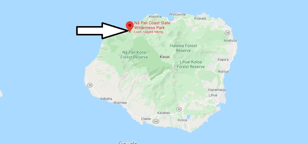
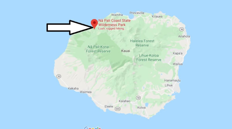
Where is Na Pali Coast?
In the northwest of Kauai, at the end of Highway 56, begins the spectacular Napali Coast, whose green overgrown cliffs, some over 1000 meters high, are not only a popular photo motif, but also one of Hawaii’s most important film scenes.
A trip to the 27 km long Na Pali Coast with its numerous waterfalls and rugged Canyons is one of the absolute Must-Dos of a Kauai holiday. It is up to you which means of transport you choose. A journey by car is not possible, instead you can choose from these three alternatives:
Hiking-Napali-Coast.jpg
Into the heart: hike on the Kalalau Trail
The only land route along the Na Pali Coast is the almost 18 km long Kalalau hiking trail. A valid permit is required for the entire route, which can be easily applied for in the state Parks Division in Lihue. The Trail leads from Ke’e Beach into five different valleys to Kalalau Beach. If you want to do the whole hike, you should definitely take two whole days and be very fit, because the trail is very challenging with narrow, partly slippery paths and strong gradients. But if you want to get deep into the green heart of the Na Pali Coast, this Tour is the best way for you.

Is the Na Pali Coast Open?
Can you drive to Na Pali Coast?
How long is the Na Pali Coast?
Can you drive around the whole island of Kauai?
How do you get to Kalalau Lookout?
How do I get to hanakapiai Falls?
Where can you drive on Kauai?
How do I get to kalepa Ridge Trail?

