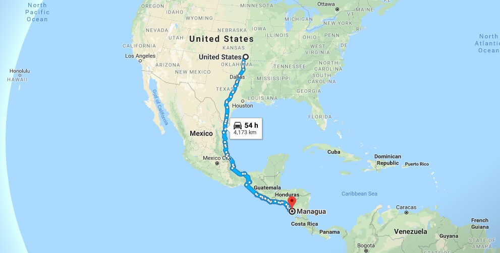
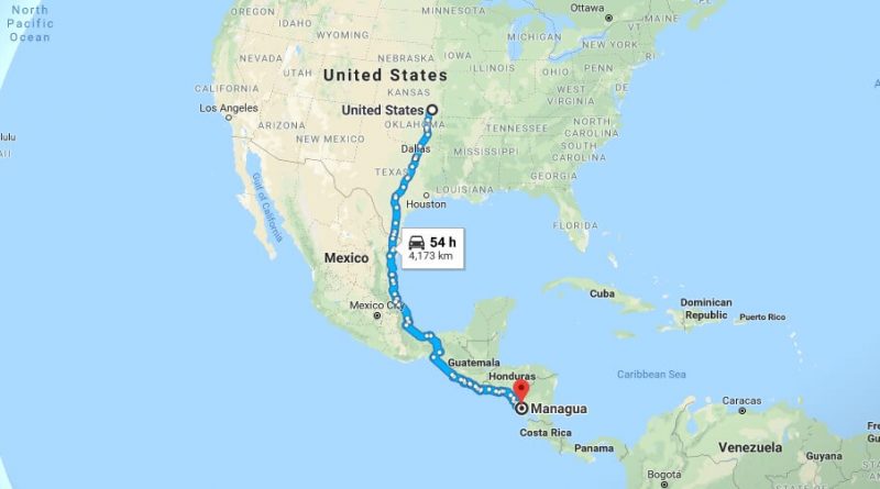
Where is Managua? What Country is Managua in? Managua Map
Managua is the capital and largest city of Nicaragua. Managua is west of the country. It is located southwest of Lake Managua. Managua has wonderful nature views. It is a city in greenery. The city attracts attention with its beautiful streets, festivals, museums and historic buildings.
Where is Managua?
These are the places to visit in the city. Located in 20 km south of the city, located in the town of Masaya and the country’s first and largest national park, one of 78 protected zone on the table the crater, from Belgium in 1920 to be built and brought to the city of Managua today, the Old Cathedral Of Managua, the National Palace of culture, which serves as a museum, declared a natural protected area in 1993, a total of chocoyero El Brujo, one of the smallest with an area of 1.8 square kilometers, the Natural Reserve tropical forests of the country, with the most beautiful sights in the city overlooking the Pacific Coast beach montelimar Beach.
Quick facts
| Country | Nicaragua |
| Parish | Managua |
| Population | 973,087 |
| Elevation | 108 m over sea level |
| Time Zone | CDT |
| Longitude | -86.250400 |
| Latitude | 12.132820 |
| Airport | Augusto César Sandino International Airport |
The city of Managua is dominated by tropical climate. The best time to visit the city is between October and March. The city of Managua is provided with direct or indirect transportation from the United States.


