Arkansas Map and Map of Arkansas, Arkansas on Map
Arkansas Map
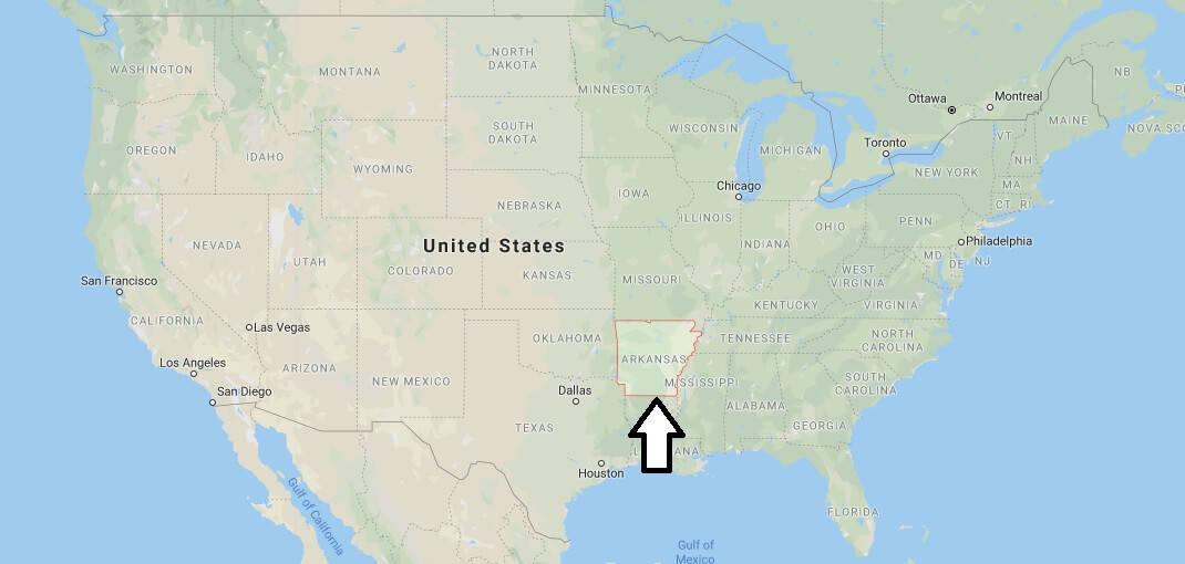
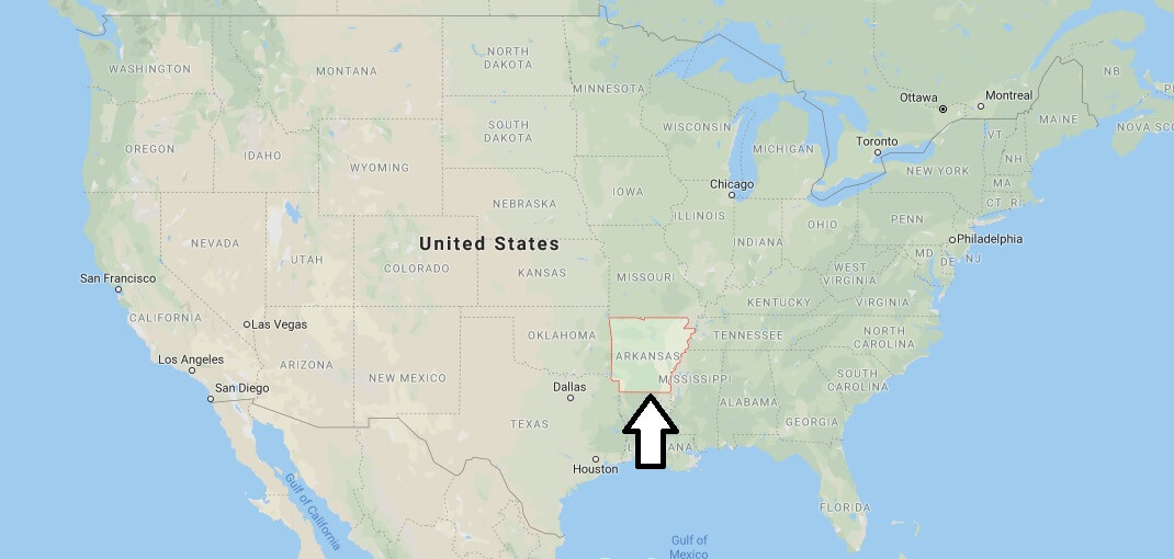
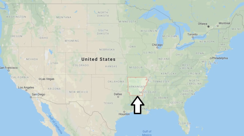
Arkansas,. It is a state in the central-southeast (southern region) of The United States of America, with its capital in the city of Little Rock.
It borders the Mississippi River,Missouri, Oklahoma, Tennessee, Louisiana, Texas, and Mississippi. The name of the state derives from the word kansas (the term by which the Algonquian Indians designated the Quapaw Indians), as the French pronounced it in the 17th century.


