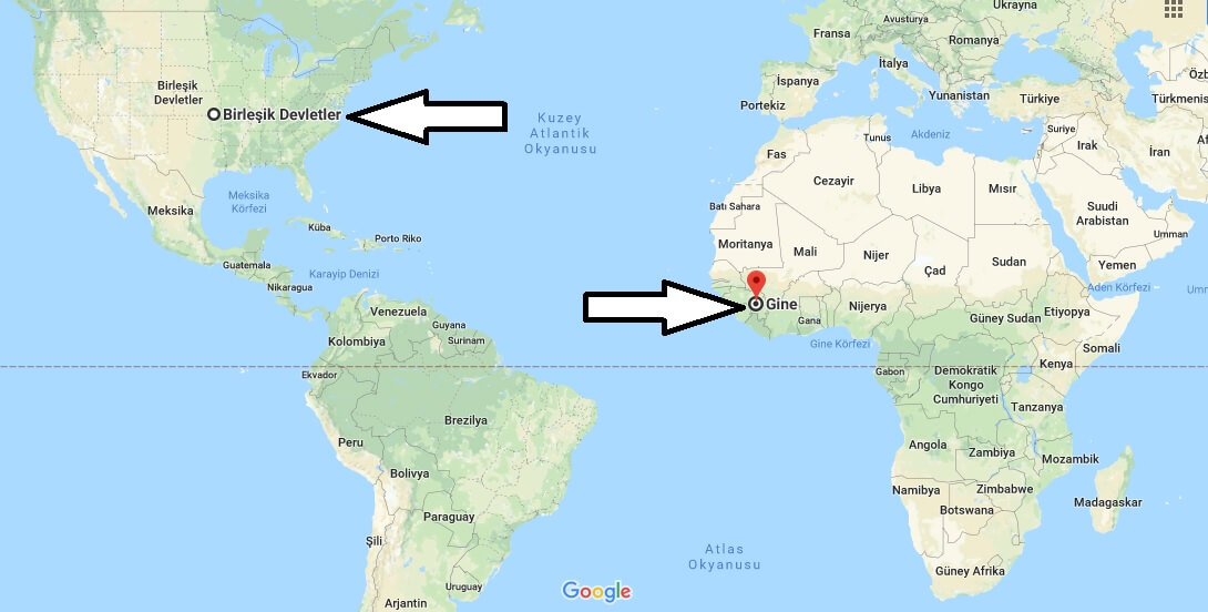
Where is Guinea? Located in The World? Guinea Map
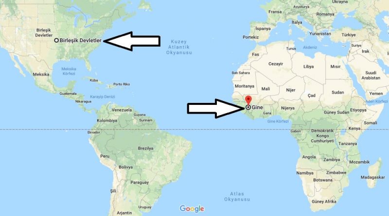
Where is Guinea? / Where is Guinea Located in The World? / Guinea Map – Guinea is a country located in West Africa. There are Mali and Ivory Coast in the east of Guinea, Sierra Leone and Liberia in the South, Senegal and Guinea Bissau in the North.
Where is Guinea?
It is located on the western side of the Atlantic Ocean. The country consists of 33 regions and 1 private area. Furthermore, the presidency is governed by the Republican system. Conakry city is the capital of the country and also the most advanced city. The official language of the country is French. In the country, Fulani is the most widely spoken language except French.
The country’s currency is the Guinea franc. 85% of the country’s population are Muslims, 8% are Christians, 7% are people who believe in different local beliefs. The tropical climate is prevailing throughout the country of Guinea. The best time to visit the country is between December and March. Because, low rainfall and low temperatures are months. The country of Guinea is among the countries that require a visa. Transportation to Guinea is provided by transferring to many countries.
Quick facts
| Population | 10,884,958 |
| Density | 44.3 / km2 ( 114.7 / mi2 ) |
| Language | French |
| Independence Year | 1958 |
| Capital | Conakry (Conakry) |
| Currency | Guinea Franc |
| GDP | 6,624,068,037 (2014 data) |
| GDP per Capita | 609 (2014 data) |
| Land Area | 245,717 km2 (94,872 mi2) |
| Water Area | 140 km2 (54 mi2) |
| Neighbouring Countries | Mali, Senegal, Guinea-Bissau, Liberia, Cote D’Ivoire, Sierra Leone |
| Minimum Longitude | -15.080 |
| Maximum Longitude | -7.640 |
| Mininum Latitude | 7.200 |
| Maximum Latitude | 12.670 |
Map of Guine
Picture of Guine


