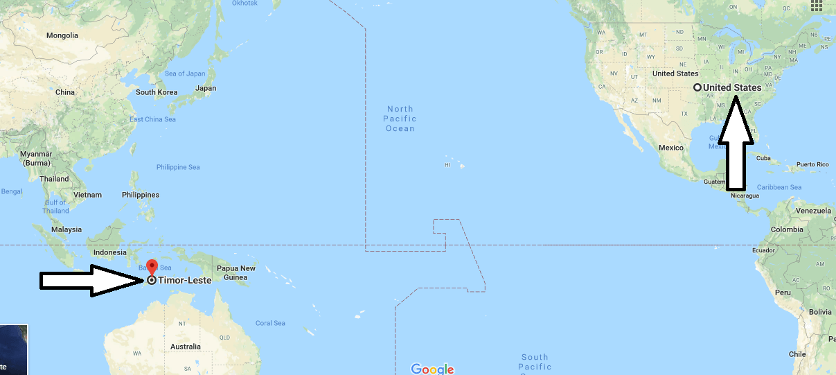
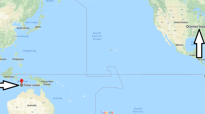
Where is East Timor? Located On the World Map
Where is East Timor? Located On the World Map – East Timor’ official named is the Democratic Republic of East Timor. It is a country in Southeast Asia. East Timor country covers the east of Timur Island, the Atauro and Jaco islands and the region of Oecussi-Ambeno. Eastern Timor is the only Neighbor of the country of Indonesia, the Western Timor.
Where is East Timor?
The Eastern Timor country, which has been the province of Indonesia for many years, gained its independence in 2002. The Eastern Timor country has a surface area of 14.609 square kilometers. The capital of the country is the ‘Dili’ city. The country consists of 13 regions. The official language of the country is Tetum and Portuguese. Indonesian is most widely spoken language in throughout the country outside these two languages.
The currency of the country is the US dollar. The people throughout the country are Catholics. East Timor is the second largest Catholic country in Southeast Asia. The country is generally hot and humid due to the fact that tropical climate is prevailing throughout the country. The best time to visit the country is between April and July. East Timor is among the countries requiring a visa.
Map of East Timor
Picture of East Timor

Is East Timor poor?
Is East Timor a part of Indonesia?
What is the main religion in East Timor?
Where is Timor located?
Is Timor Leste and East Timor the same?
When did East Timor became Timor Leste?

