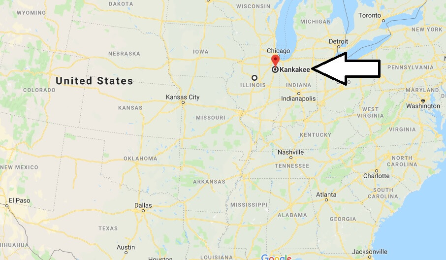
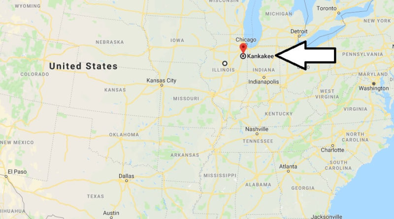
Where is Kankakee, Illinois? What County is Kankakee? Kankakee Map Located
Where is Kankakee, Illinois?
The area described here includes the counties Kankakee, Ford and Iroquois with the cities Kankakee, Paxton and Watseka. It is located in the northeast part of Illinois.
What County is Kankakee?
The city of Kankakee, capital of the district of the same name, located south of Chicago, has preserved some traces of its French history. In 2000, the city was described by the magazine “Cities Ranked and Rated” as a city with the worst quality of life in the US. Two houses by architect Frank Lloyd Wright in the Riverview district have survived to this day, the first Dairy Queen was opened here. In Paxton, an “English” settlement was to be built in Illinois. The project failed. It is worth visiting the Illinois Central Historical Society, located in the old railway station, which documents the history of the Illinois Central Railroad.
Removal
Chicago 84 km
nearby cities
in Illinois: Aurora, Bloomington, Champaign, Chicago, Danville
in Indiana: Gary, Lafayette
Kankakee Map Located

Where is Kankakee County in Illinois?
What does Kankakee mean?
What’s the population of Kankakee Illinois?
When was Kankakee founded?
What is the county for Kankakee IL?
How wealthy is Kankakee?
What is considered Chicago metro area?
Is Kankakee a state?
Which way does the Kankakee River flow?

