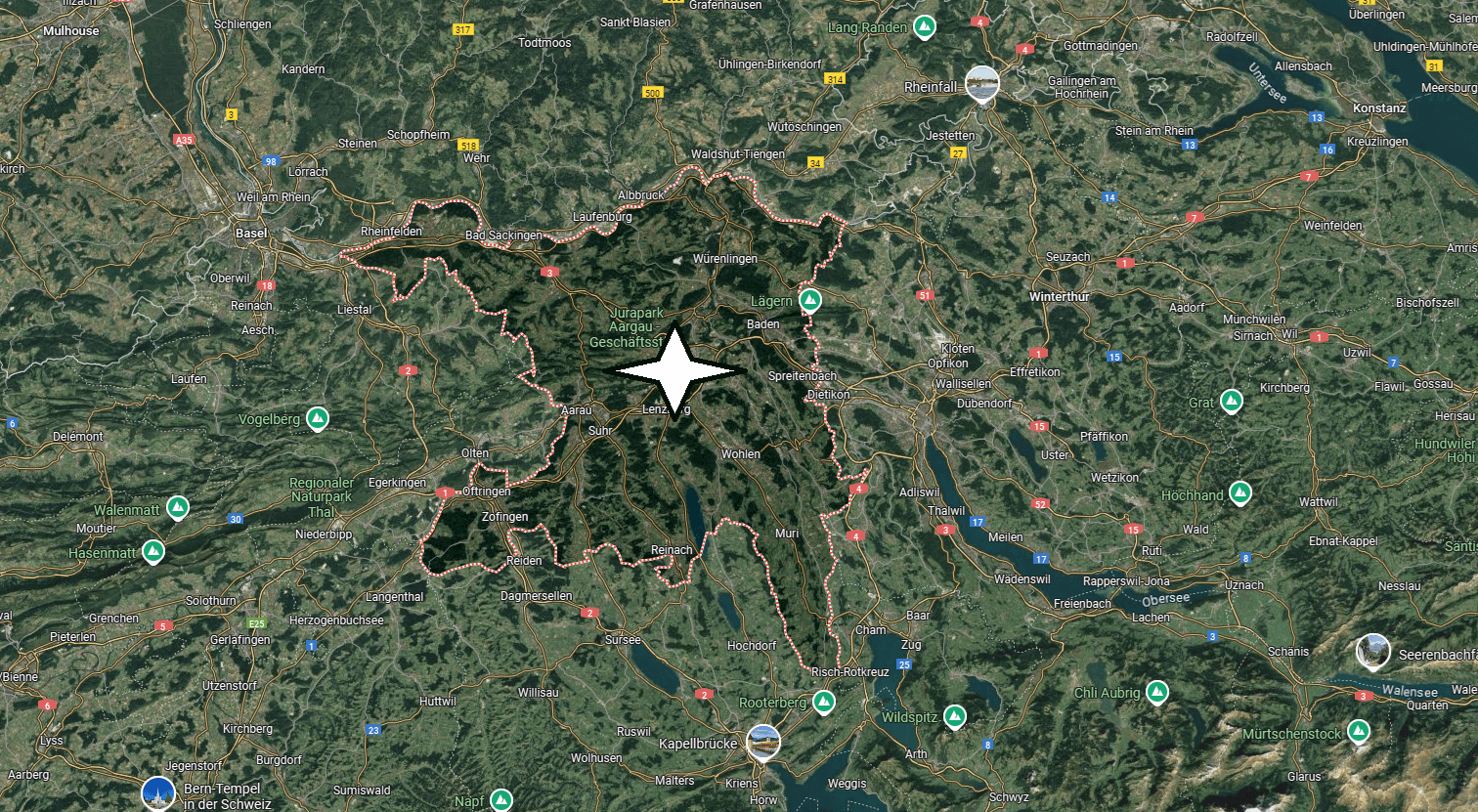
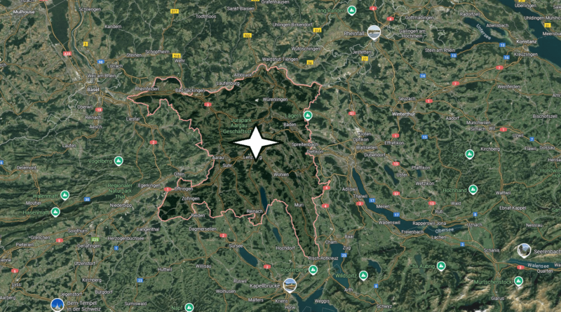
Where is Aargau?
Which country is Aargau located?
Aargau is the name of a canton in Switzerland. It takes its name from the river Aare. In the north, the Rhine forms the border with Germany. A little over 660,000 people live in Aargau. The official language is German. The main town is the city of Aarau with just over 20,000 inhabitants. The two cities of Wettingen and Baden are almost the same size.

The canton of Aargau is mainly located in the central plateau, only a small part is located in the Jura. The Aare brings a lot of water from the Bernese Oberland. Almost at the same place, the Aare merges with the Reuss, which comes from Lake Lucerne, and then with the Limmat from Lake Zurich. So the water from most of Switzerland accumulates here, that’s why this area is also called the “water castle of Switzerland”. The Aare flows into the Rhine near Koblenz.
The main town of Aarau seen from the air. Typical for the canton of Aargau: small towns, the Aare River, a railway line and a nuclear power plant in the background.
In the past, as today, there were no major cities in the canton of Aargau. The area had different rulers. In 1415, the Confederates, the then Swiss, conquered it. The area was partly governed by Bern, partly by Zurich, partly also jointly by the Confederation. It was only after Napoleon had conquered Switzerland with his troops that the present canton of Aargau was created in 1803. This year is expected to be an accession to the Confederation.
The main town of Aarau was already settled during the Neolithic period. A Roman road ran where Bahnhofstrasse is located today. It connected the important Roman camps of Vindonissa and Aventicum. In the 7th century, the Alemanni built a first settlement there. In the 13th century, the counts of Kyburg founded the present city. It is located on an extensive rock above the Aare River.

