Where is Danube River?
What country is the Danube River in?
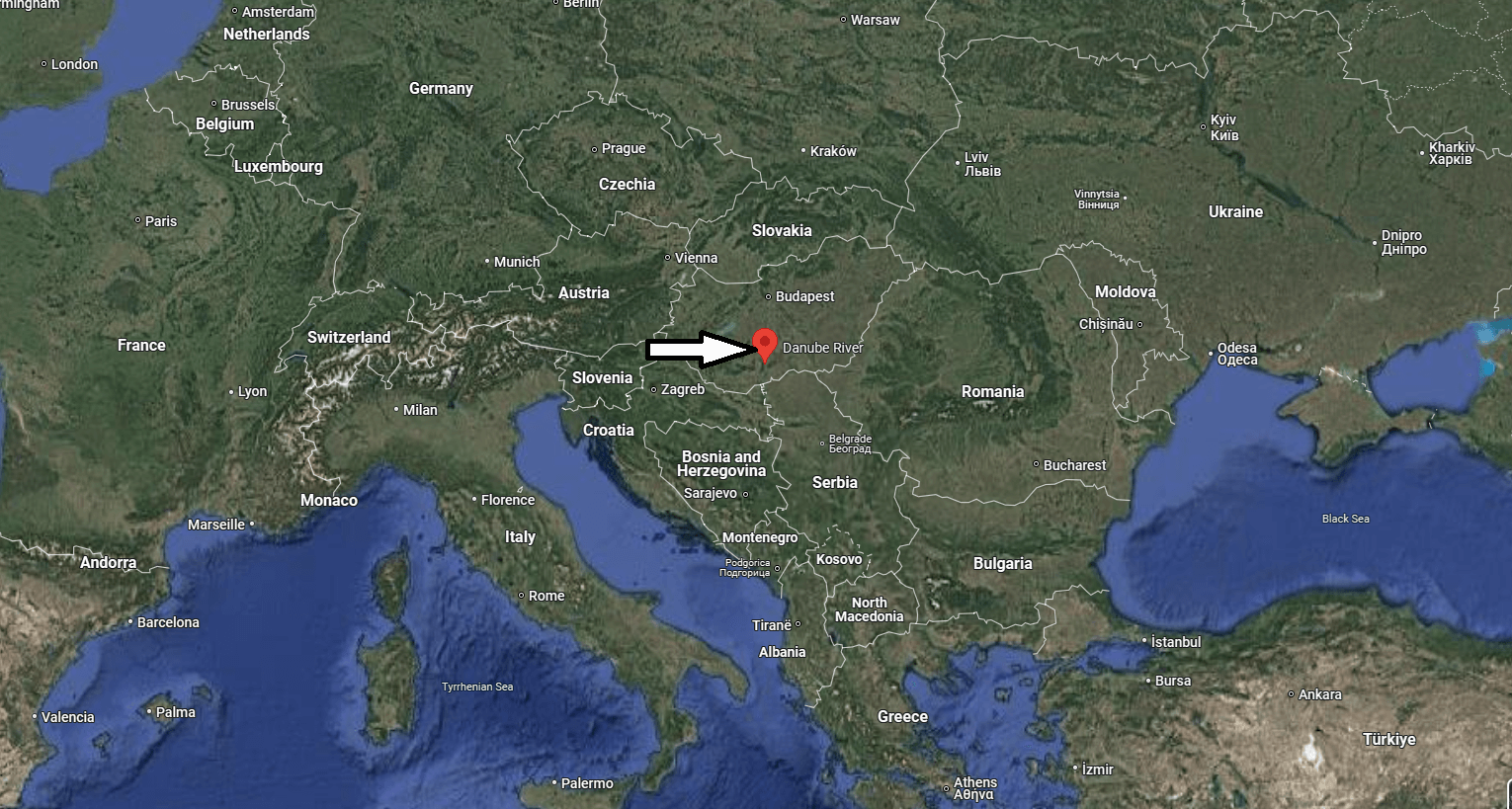
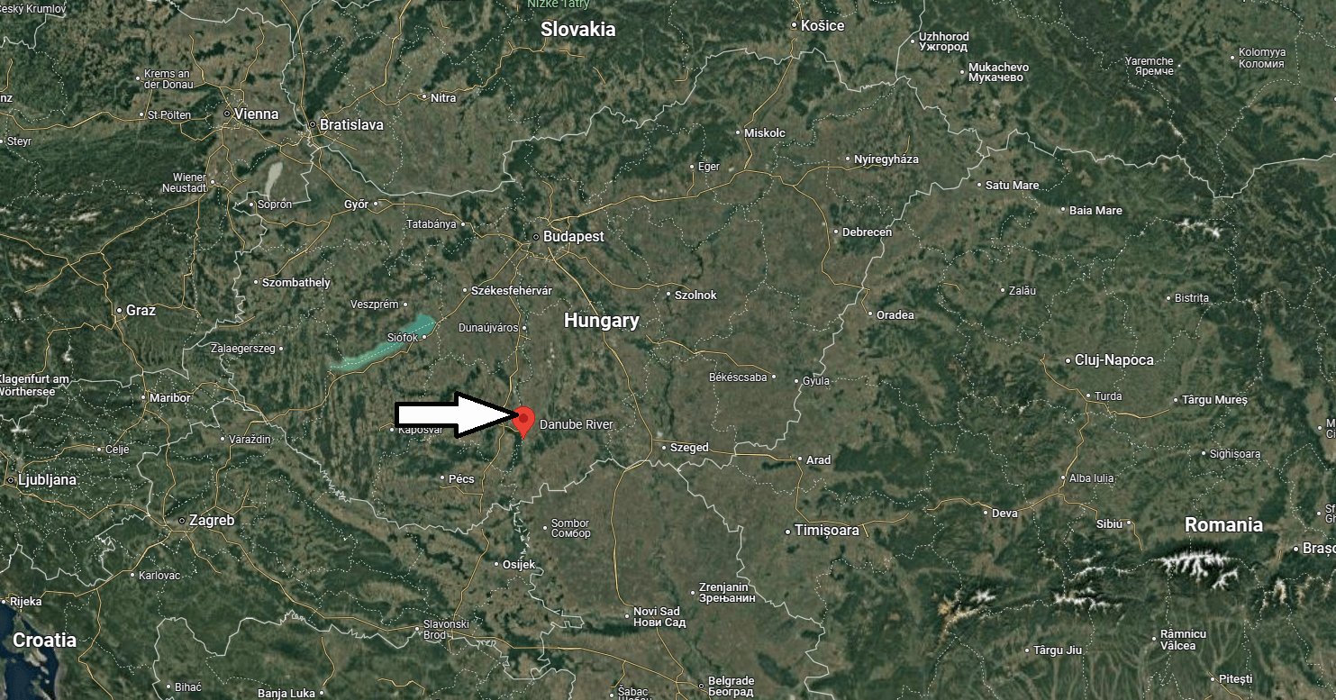
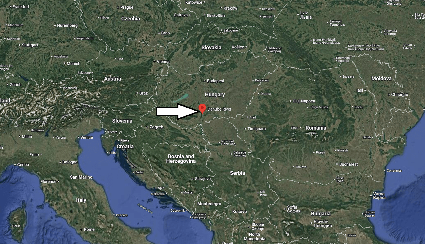
The Danube is one of the oldest and busiest European routes. In the direction of its course, it is distinguished from the other great waterways of Europe because it flows from west to east: in fact, from the Black Forest, it comes to lap the edge of the Russian steppe, crossing in the following countries: Germany, Austria, Czech Republic, Slovakia, Hungary, Serbia, Romania, Bulgaria and Moldova. Few rivers are so rich in history: already at the time of the Romans, it marked the border with the populations of the far east. Subsequently, it became a great road of invasions because along its banks the Huns, the Avars, the Slavs followed each other over time. The Bulgarians and the Magyars. Its catchment area measures an area of 817,000 kilometers and is crossed by many rivers such as the Inn , the Drava, the Sava, the Drinsa, the Morava, the Tibiscus, the Olt and the Siret.

Its course can be divided into lower course, middle course and lower course
– The upper course goes from the spring to Bratislavia. The life of the Danube is unique from birth. First of all, it arises from the confluence of two rivers, the Brigach and the Brege. A few kilometers after the spring, in the vicinity of Immendingen, the calcareous soil swallows most of its of its waters and reappears 11 kilometers later where they form the Aach that flows into the Rhine. In Ulm, the Danube already reaches 75 m in width and about a meter in depth. Later it bathes Regensburg, an important river port of Bavaria, then Passau, where it receives the waters of the Inn and where, therefore, it doubles its flow rate to 1500 cubic meters per second. He then enters Austria where he bathes Linz and Vienna. In some places, the Danube crosses steep gorges or widens into wide valleys where it divides into numerous branches that form several islets or small ponds, never rejoining the main branch.

– The middle course begins in Bratislavia; for a stretch 200 kilometers long, the Danube marks the border between Hungary and Slovakia and then bathe Budapest. Here it now loses its character as an Alpine river to acquire that of a slow and sinuous plain river. After Belgrade, it faces the Iron Gates, a narrow 150 meters wide narrow between two high and narrow side walls. The Danube before had an expanse of almost 2 kilometers now you have to adapt to enter this gorge and that’s why the river sinks for 50 meters; water is sucked out of the depression.
– After the Iron Doors, the lower course begins. Here the waters flow majestically and follows the border separating Bulgaria from Romania. At the Bulgarian town of Silistra, the river has a slope of only 15 meters at a distance of 300 kilometers from the mouth. The speed of the waters is therefore minimal and the river forms the balte, that is, areas formed by countless islands covered by thickets and reeds. During the floods the balte are submerged, thus allowing the river to reach a width of 16 kilometers. In the vicinity of Galati, the Danube has to face a narrow again, but by now we are at the mouth. The Danube delta is a kind of inland sea stretching for almost 3000 kilometers: the territory is a flat, swampy surface, covered with reeds with numerous ponds and lakes. In the delta, three main branches are distinguished: St. George’s Branch, Sulina’s Branch and Chilia’s Branch. The latter branch is the only navigable and allows boats to arrive in the waters of the Black Sea. Especially in Austria and Hungary, if the winter is particularly harsh, the waters of the Danube freeze and you can walk from one bank to another.


