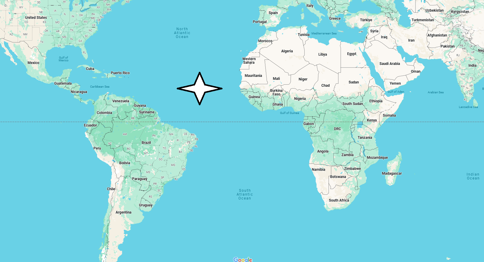
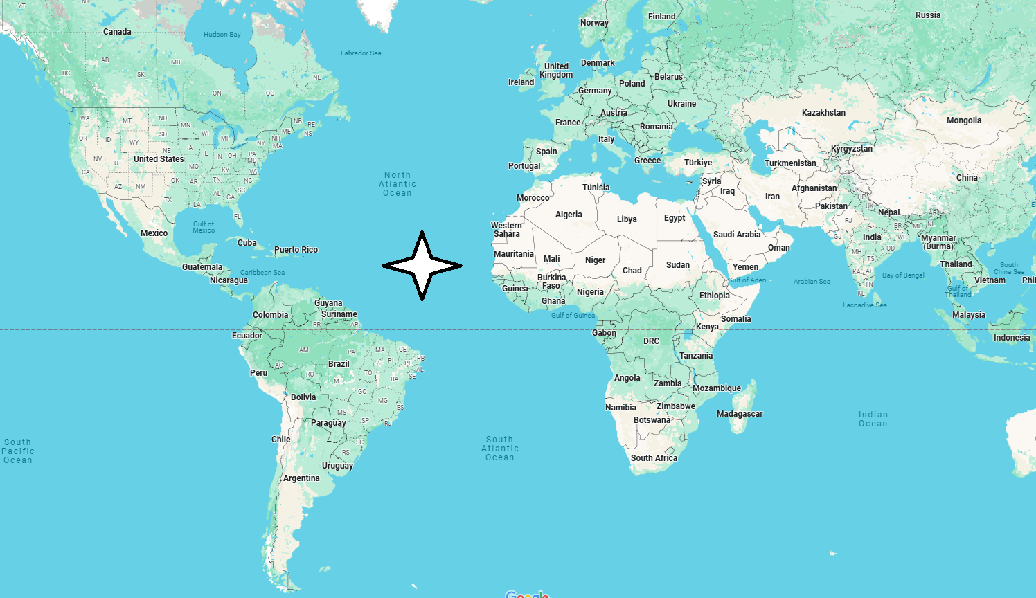
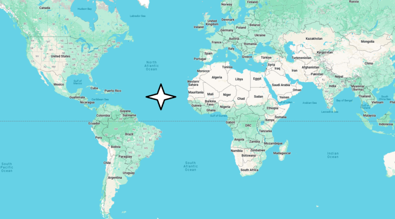
What states touch the Atlantic Ocean?
Which country borders the Atlantic Ocean?
The Atlantic Ocean (also called, simply, the Ocean), second in amplitude after the Pacific, is curiously similar to a large S, stretched between the Arctic and Antarctic polar region, while the American, European and African continents close it to the west and east. A little over 100 million km2 wide, the Ocean includes multiple seas (Arctic, Caribbean, Northern, Baltic, Mediterranean), the Gulf of Mexico and the Hudson and Baffin bays.

It derives its name from Atlantis, the name of a very large ocean that was believed to surround entirely a single emerged earth. Linked to its name is also the legend of Atlantis, the legendary island that would sink into the ocean with all its inhabitants.
For a long time the Atlantic has represented an unknown space for Europe and the Pillars of Hercules (the Strait of Gibraltar) a barrier: the concerns (“limits”) remembered by Dante and definitively overcome only in the 15th century. Moreover, the Atlantic has very few islands useful as bases of support for navigation on the high seas, which made it difficult in ancient times.

The seabed and the waters
Scientific knowledge of the Atlantic began around the middle of the 19th century. A band of slums borders the continents: it is the continental shelf, which extends unevenly offshore; it is very wide from Europe to North America and off Argentina. Seamounts divide the ocean depths into flat basins. In the central-western and southern Atlantic open the deepest ‘pits’, such as that of Puerto Rico which exceeds 9,000 m.
The bottom of the Atlantic has a very long, continuous relief from north to south, similar to a mountain range: the mid-Atlantic ridge, connected with the ridges of the Pacific and Indian Oceans for a total of over 64,000 km. Through a rift on its ridge, lava flows out that forms new oceanic crust. The surface temperature of the waters, warmer in the central areas and very cold in the polar ones, denotes large currents, which in turn are at the origin of particular climatic situations: the warm Gulf stream heads from the coasts of Mexico to those of northern Europe, making its climate temperate, while the cold Benguela current causes the aridity of south-west Africa. Water temperature is also one of the causes that, in intertropical zones, produce devastating hurricanes, tornadoes and cyclones.

