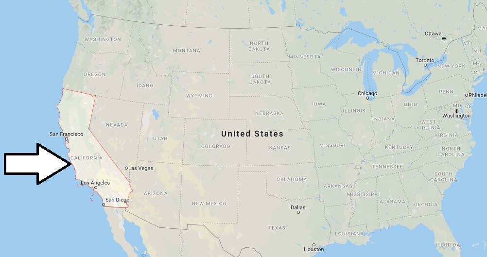
Where is California? What Country is California in? California Map
Where is California?
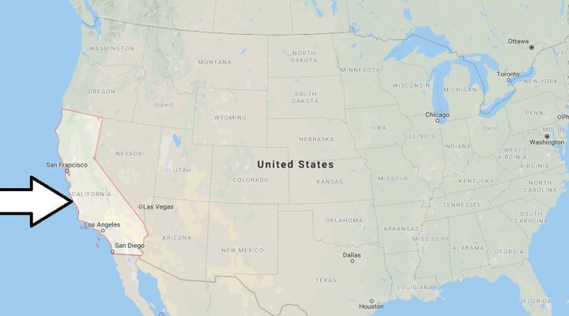
California is located southwest of the United States, on the coast of the Pacific Ocean. It is bordered by Oregon to the North, Nevada to the East, Arizona to the southeast, and Baja California Norte to the south, Mexico’s border state.
What Country is California in?
The California border is 3,299 km. California has a coastline of 1,352 km long. The length of the east-west is 560 km. The distance between the North and south of California is approximately 1,260 km long.
California State – Quick Facts
| Country | United States |
| Region Type | State |
| ISO Code | US_CA |
| Time Zone | PDT |
| Year of Establishment | 1850 |
| Capital | Sacramento (Population: 466,488) |
| Head of Government | Jerry Brown |
| Total Population | 37,253,956 |
| Total Area | 411,049 sq km (158,707 sq miles) |
| Population Density | 90.6 sq km (234.7 sq miles) |
California Map
In which country California is located?

What is California is famous for?
Is California a city or county?
Where is California North or South America?
Did us buy California from Mexico?
What’s the biggest county in California?
Is California a country or state?
Is California a country Yes or no?
Was California its own country?


Pingback: Where is Anaheim? What Country is Anaheim in? Anaheim Map | Where is Map