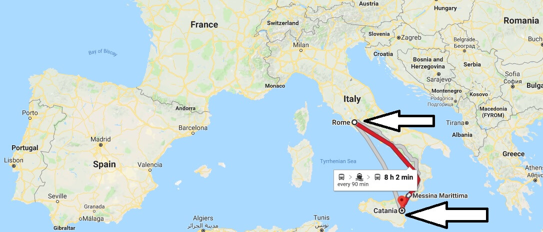
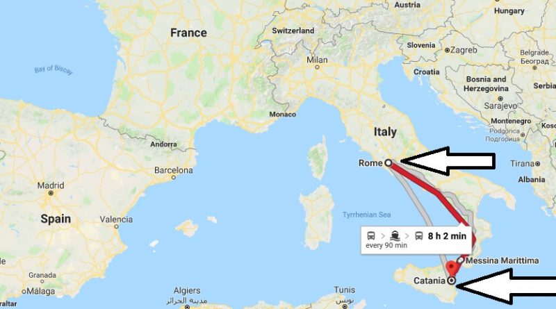
Where is Catania Italy Located Map? What County is Catania?
Catania is a city situated on the eastern coast of Sicily Island, in the autonomous region of Sicily. It is the second largest city of the island with a population of 290,000. Catania is mostly known for its summer tourism and Etna volcano.
Where is Catania?
Catania is located on the shores of the Ionian Sea, at the foot of the Etna volcano. The Etna volcano is Europe’s highest active volcano and mountain. It erupts every once in a while and erupts lava. Etna, especially in Europe, has a bad impact on air transportation.
What County is Catania?
Catania is an Italian city. It is one of the most important tourist cities in the world. Catania is on a plain plain plain around the simento River. Catania’s ports are located at the place where the river enters the Ionian Sea. Port of Catania is one of the most important economic resources.
Quick facts
| Country | Italy |
| Region | Sicily |
| Population | 290,927 |
| Elevation | 40 m over sea level |
| Time Zone | CEST |
| Longitude | 15.070410 |
| Latitude | 37.492230 |
| Airport | Catania–Fontanarossa Airport |

Which country is Catania?
What is Catania famous for?
How many people live in Catania?
How many days do you need in Sicily?
Why is the elephant the symbol of Catania?
When did Sicily become part of Italy?

