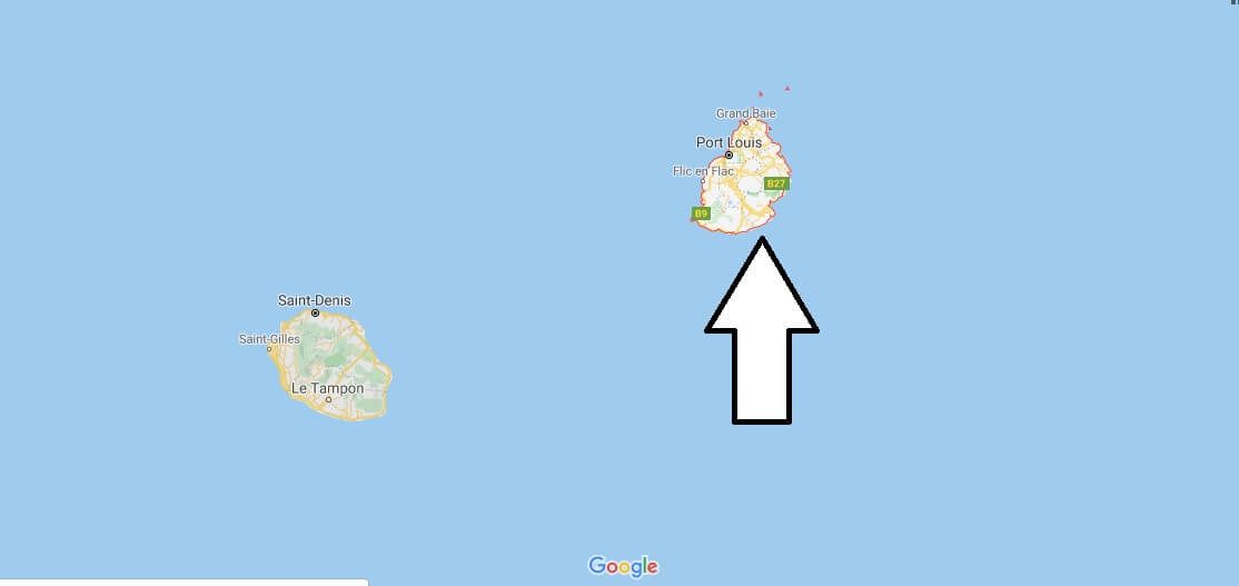
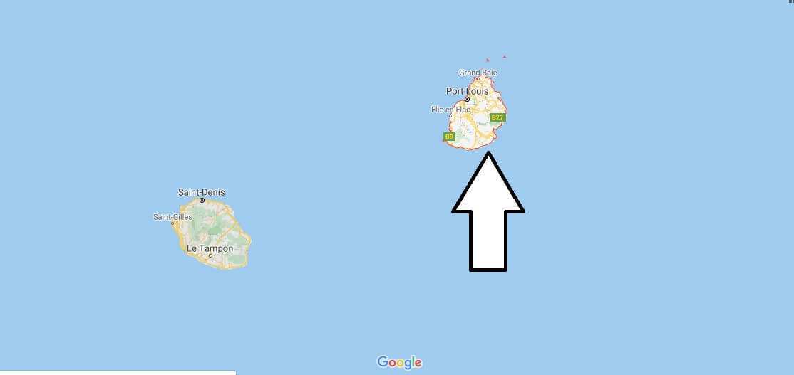
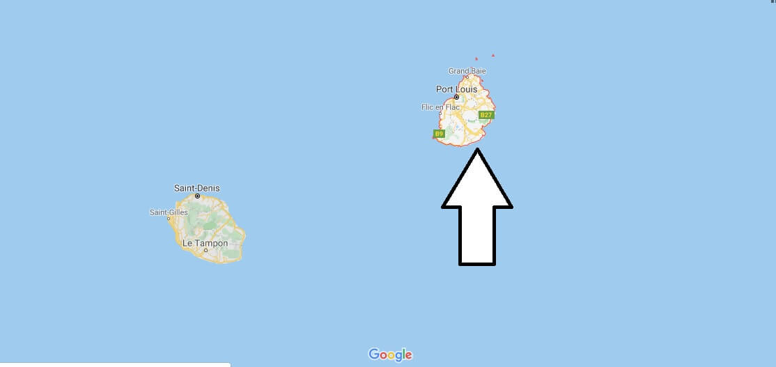
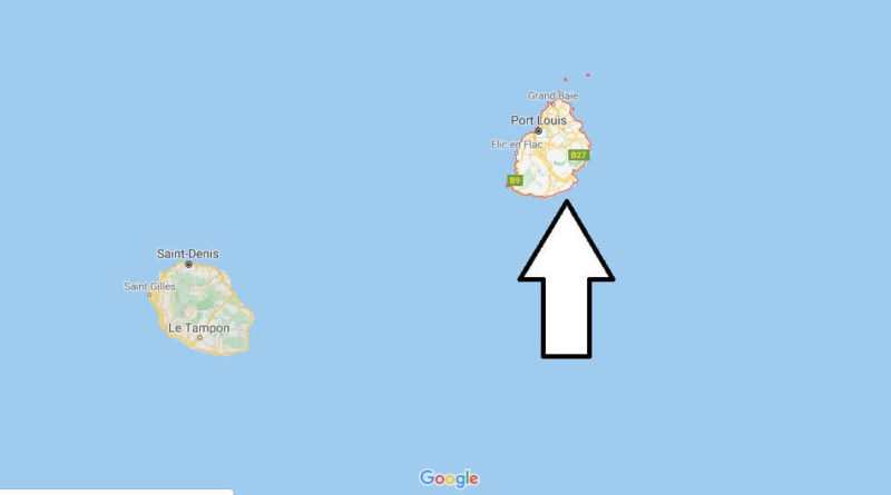
Mauritius Map and Map of Mauritius, Mauritius on Map
Mauritius Map
Mauritius is a small state in southeast Africa. Its warm tropical climate and the surrounding coral reef make this island an ideal place and difficult to forget, it is a garden full of contrasts covered in large part by the Green of its sugar plantations.
It is an island of volcanic origin, located 800 km from Madagascar, 58 km from North to South and 47 km from East to West, densely populated (600 people per square km). As a state it includes Rodriguez Island only 560 km to the Northeast.
Its capital is Port-Luis, located at the northwest end of the island and has 170,000 inhabitants. Some places to visit are Fort Adelaide, a stroll through the port, the Chinese pagoda in front of the racetrack, the Juma Mosque, the Cathedral of Saint James and of course the market.


Where is Mauritius on the map of the world?
What country owns Mauritius?
Is Mauritius part of Africa or Asia?
Is Mauritius a poor country?
Do I need a visa for Mauritius?
What is the best time to visit Mauritius?
Why is Mauritius so rich?
Which airlines fly direct to Mauritius?
Which is best side of Mauritius to stay?

