Libya Map and Map of Libya, Libya on Map
Libya Map
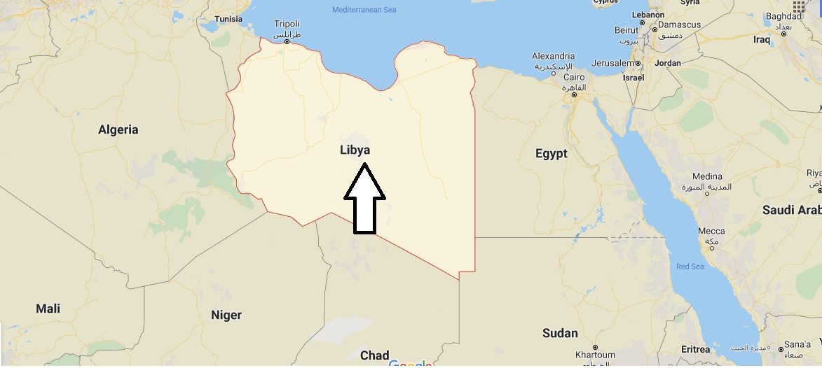
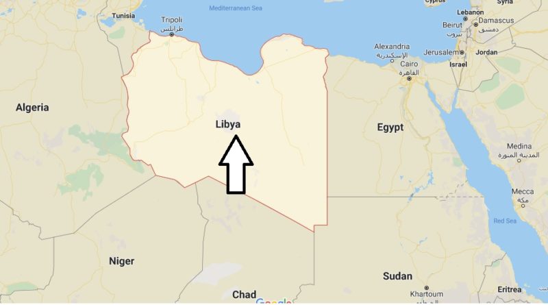
Libya, in Arabic Al-Libya. It is a North African nation, bounded to the north by the Mediterranean Sea, to the East by Egypt, to the southeast by Sudan, to the South by Chad and Nigeria, to the West by Algeria and to the northwest by Tunisia, made up of the ancient historical regions of Tripolitania, Cyrenaica and Fezan.
The country became an Italian colony on 18 October 1912 by the Treaty of Lausanne. Under the name of Libyan status, its territory was expanded with French consections.