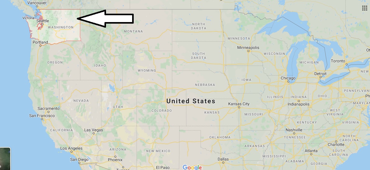
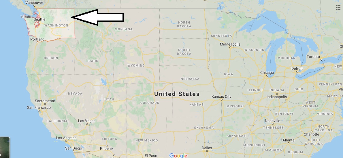
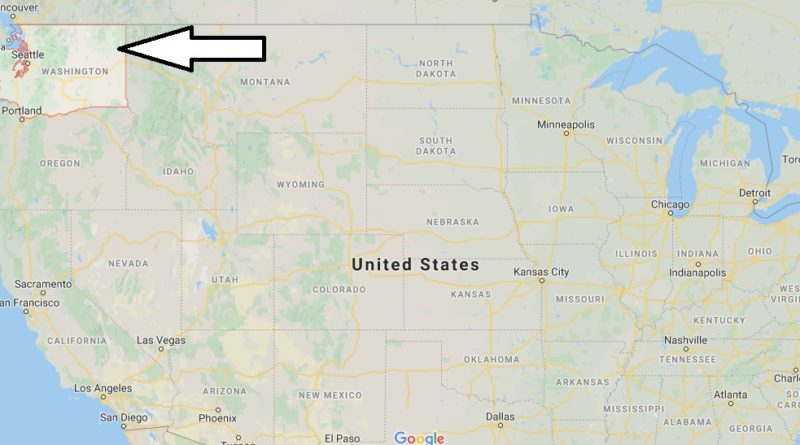
Washington Map and Map of Washington, Washington on Map
Washington Map
Washington state. Known simply as Washington or The Evergreen State. One of the 50 states of the United States of America, located in the Northwest Region, officially founded on November 11, 1889 when its constitution was accepted.
It was named in tribute to the undisputed leader of the American insurgents during their war of independence and later the first president of the United States, George Washington. Not to be confused with the U.s. capital, Washington D. C.; for this reason, in the United States, the state is often called the state of Washington, and the National capital, D.C. (abbreviated District of Columbia, District of Columbia).
Washington has huge coniferous forests, which have earned it the nickname The Evergreen State. These forests make Washington a leader in the US timber industry. Washington is cut by several rivers and dotted with several lakes, creating a favorable terrain for the installation of dams. The largest in the country, Grand Coulee Dam, is located here on the Columbia River. The state consists of 307 cities grouped into 39 counties. It has an area of 184,666 km2 with a population of 6,882,400 registered as of April 2013. Its governor has been Democrat Jay Inslee since 2012, the twenty-third in office.


Where in USA is Washington?
What is the smallest county in Washington?
What counties are in Washington state?
Where is Spokane in relation to Seattle?
Why is DC called DC?
How wealthy is Washington?
What is DC?
Where is the capital of USA located?
Where are the Washington State Cougars located?

