Nebraska Map and Map of Nebraska, Nebraska on Map
Nebraska Map
Nebraska. Nebraska is a state of the United States, located in the Midwest Region of the nation. Its capital is the city of Lincoln.
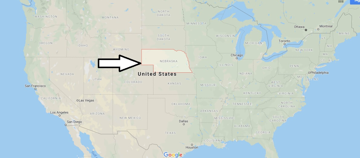
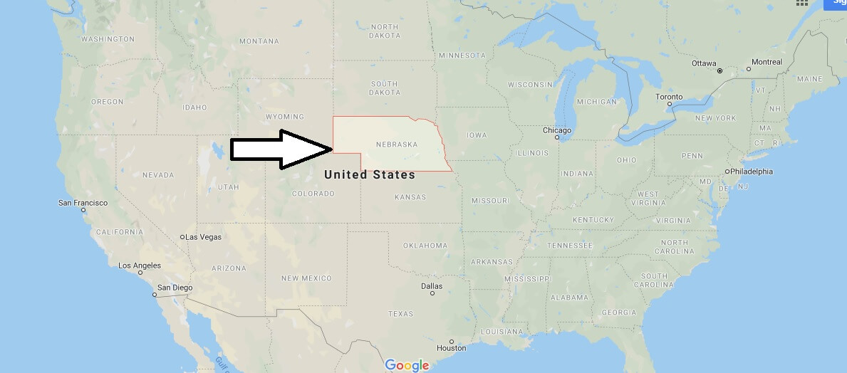
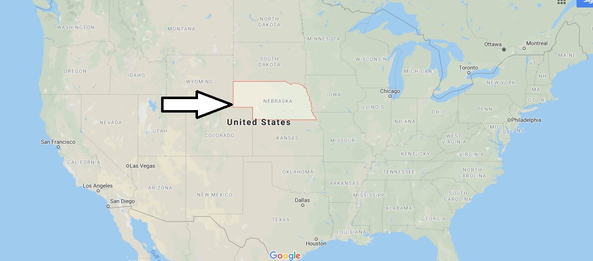
Limited by the state of South Dakota to the north, with the state of Iowa to the east, with the state of Missouri to the southeast, with the state of Kansas to the south and Colorado to the southwest and Wyoming to the west. It is located in a geographical position between coordinates 40o to 43o north latitude and 95o 25 ‘ to 104o west longitude. It has a population of 1 774 571 (2010) with an area of 200 346 km2. The state was founded on 1 March 1867.


What is Nebraska famous for?
How far is Lincoln from Omaha?
What are the states that border Nebraska?
Where is the middle of Nebraska?
Is Nebraska a poor state?
Is Nebraska a nice place to live?
Is Nebraska a safe state?
What is the coldest month in Nebraska?
What food is Nebraska famous for?

