Comoros Map and Map of Comoros, Comoros on Map
Comoros Map
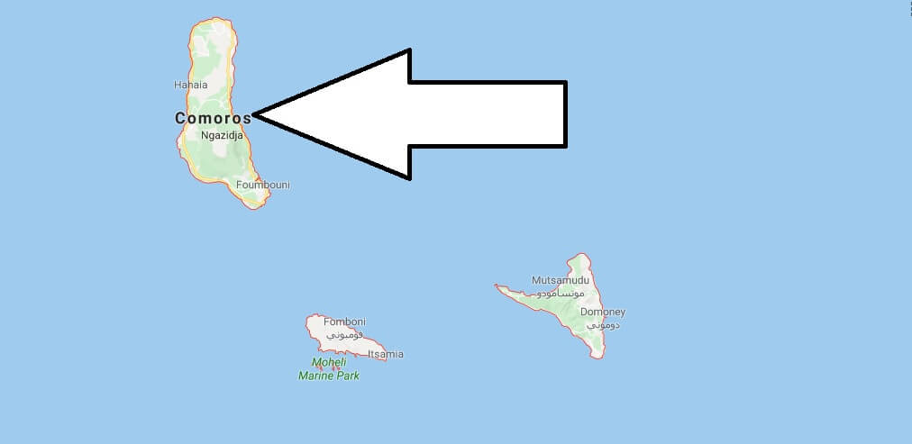
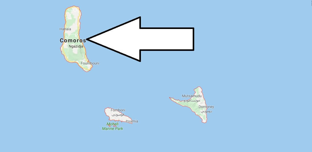
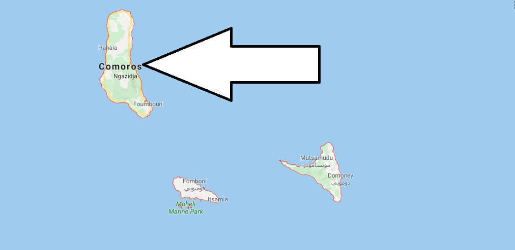
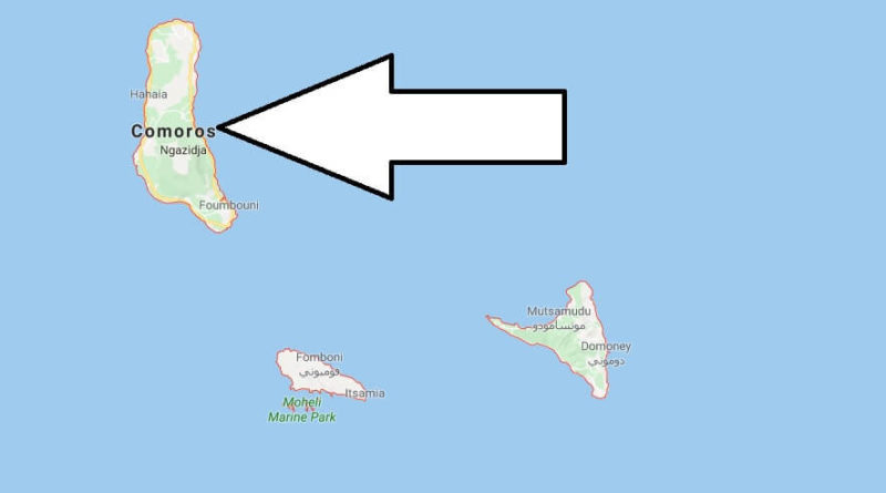
Union of the Comoros. Or simply the Comoros or Comoros, formerly the Islamic Federal Republic of the Comoros. It is a country consisting of three islands in the southeast of Africa, situated to the northern end of the Mozambique Channel in the Indian ocean, between northern Madagascar and northern Mozambique.
The country consists of three volcanic islands: grande Comoros (Ngazidja), Mohéli (Mwali), and Anjouan (Nzwani), while the neighbouring island of Mayotte (Mahore), claimed by Comoros, still belongs to France. The territory also includes other small islands.
The name derives from the Arabic word ??? (qamar), “Moon”. The current name in Arabic is precisely “islands of the moon” (??? ?????, yuzuru l-qamar), and in its flag displays the crescent muslim. This name had been used by Arab geographers to call Madagascar.


Where is Comoros located in Africa?
What country does Comoros belong to?
Is Comoros safe for tourists?
What is Comoro?
What religion is Comoros?
Who owns Comoros Islands?
What is the capital city of Comoros?
Is Comoros a poor country?
Is Seychelles a country?

