Cameroon Map and Map of Cameroon, Cameroon on Map
Cameroon Map
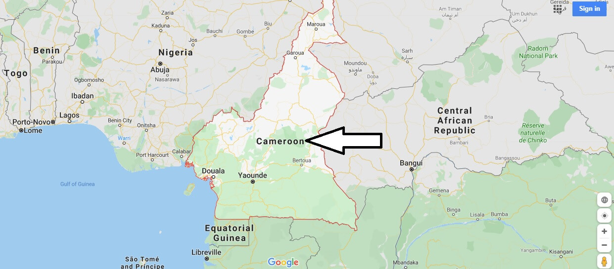
Cameroon. Central West African state located between Nigeria and Equatorial Guinea. There are three distinct regions in Cameroon: the coastal plain, the central plateau with the adamaua massif to the North and the northern area, where the Lake Chad and Sahel Basin are located.
Along the coastline, the Cameroon Massif rises in isolation (4,070 m). The coasts are usually low, except in the south, where they are rocky and trimmed. Cameroon has more than 19 million inhabitants, as well as an area of 475 442 km2. The country is populated by Sudanese, Bantu, bamilekese and Pygmies. All these groups are often animists, although there are also minorities of Muslims and Catholics in the country.
There is no official religion. Thanks to the rapid development of the oil industry and the dynamization of the agriculture sector, Cameroon is among the African countries that have achieved the highest standard of living. Agriculture has traditionally been the mainstay of Cameroon’s economy. It is now very diversified and is developing with dynamism. More than 70 per cent of the labour force is employed in this sector. The main agricultural products are coffee, cocoa, cotton, sugar cane, banana, among others.


Where is the Cameroon located?
Is Cameroon a poor country?
What are Cameroonians known for?
Is Cameroon in West or Central Africa?
What race is Cameroon Congo?
Is Cameroon dangerous?
What do they eat in Cameroon?
What do you call someone from Cameroon?
How cold does it get in Cameroon?

