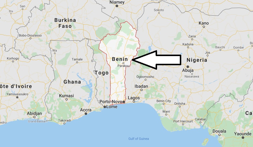
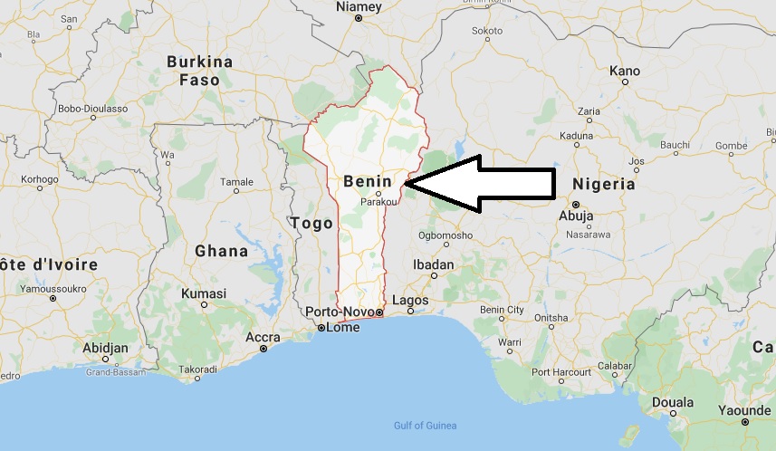
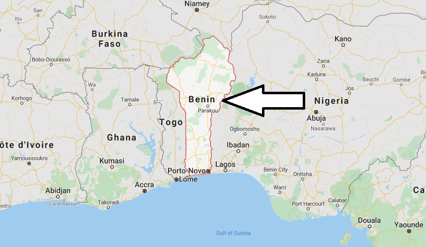
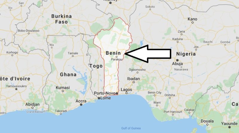
Benin Map and Map of Benin, Benin on Map
Benin Map
Benin, or Republic of Benin. Antigua Dahomey is a small West African country located between the Atlantic Ocean, Burkina Faso, Togo and Nigeria and Niger. The country of independence from France on 1 August 1960. Since 1991 Benin has made steady economic progress.


