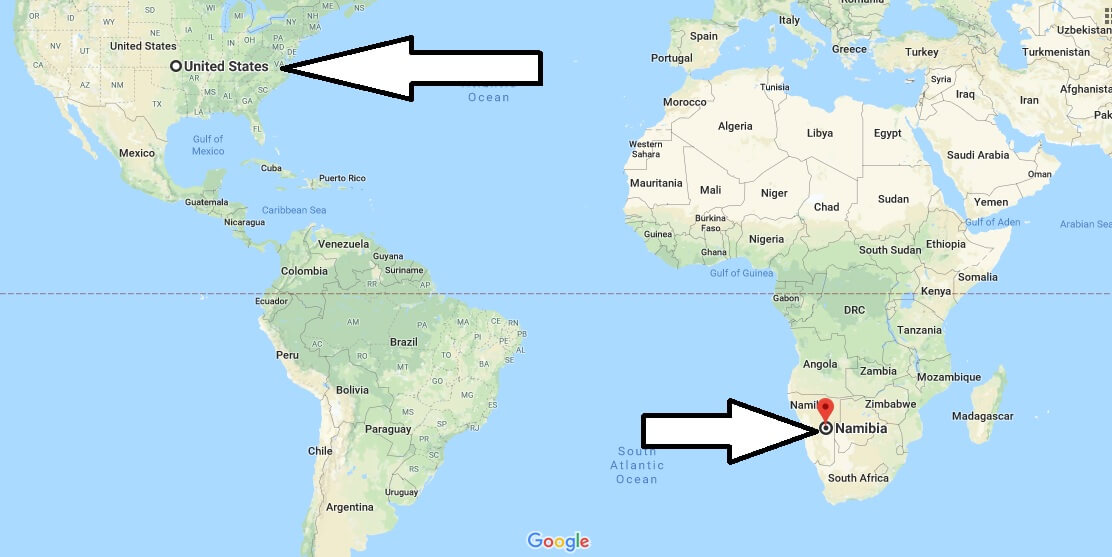
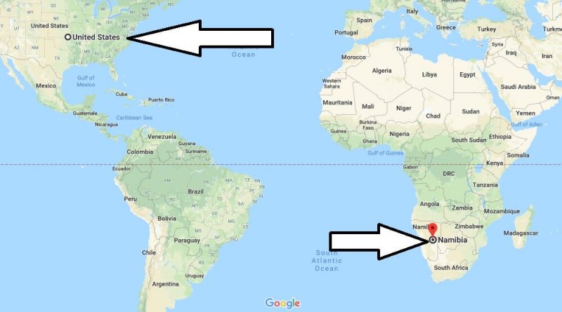
Where is Namibia? / Where is Namibia Located in The World? / Namibia Map
Where is Namibia? / Where is Namibia Located in The World? / Namibia Map – Namibia is the Republic of Namibia and is a country with the official name of Namibia. The Republic of Namibia is located in South Africa. It is bordered by the South African Republic to the east, the south and the south, and the Atlantic Ocean to the West, and the Angola to the north.
Where is Namibia?
Namibia is governed by a multi-Party parliamentary democracy system. Namibia is a country with two million inhabitants. However, Namibia consists of 14 regions and is the capital city of Windhoek. The official language of Namibia is the English language. In addition to English, Afrikaans are also used in the country’s native language.
Quick facts
| Population | 2,165,828 |
| Density | 2.6 / km2 ( 6.8 / mi2 ) |
| Language | English |
| Independence Year | 1990 |
| Capital | Windhoek (Khomas) |
| Currency | Namibia Dollar |
| GDP | 13,429,503,285 (2014 data) |
| GDP per Capita | 6,201 (2014 data) |
| Land Area | 823,290 km2 (317,874 mi2) |
| Water Area | 1,002 km2 (387 mi2) |
| Neighbouring Countries | Zambia, Zimbabwe, Angola, Botswana, South Africa |
| Minimum Longitude | 11.730 |
| Maximum Longitude | 25.260 |
| Mininum Latitude | -28.960 |
| Maximum Latitude | -16.960 |
In Addition, The country’s currency is Namibia dollars. Namibia has a warm and dry climate. The ideal time to visit Namibia is between April and October. Namibia is one of the countries requiring visas. There are flights from America to the capital city of Namibia, Windhoek.
Map of Namibia
Picture of Namibia

Is Namibia a real country?
Where is Namibia located in the world?
Is Namibia a part of South Africa?
What is Namibia best known for?
Is Namibia a desert?
Is Namibia considered a developing country?

