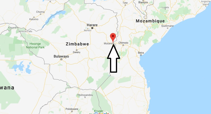
Where is Mutare Located? What Country is Mutare in? Mutare Map
Where is Mutare Located?
Mutare is considered the city with the highest recreational value in Zimbabwe because of its alpine surroundings with deep pine forests and numerous protected areas. The city of Mutare is with almost 200,000 inhabitants the third largest city in the country, should the suburb of Harares – Chitungwiza not be counted as an independent city. Mutare means “a piece of metal” -presumably the river got this name when Gold was found in the Penhalonga Valley.
What Country is Mutare in?
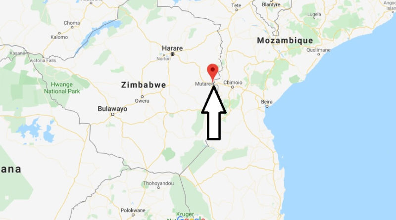
It is the capital and administrative center of the province of Manicaland and in addition, industrial location and economic center of the wood and paper processing, and coffee – and tea production throughout the Eastern Highlands. Mutare is located in the Eastern highlands of Zimbabwe, between the rivers Mutare and Tsambe. Only 8 kilometres from the centre of the city is the border with Mozambique, which makes Mutare attractive as a transit station for travellers to the neighbouring country and the Eastern Highlands.
Mutare Map

What region is Mutare?
How did Mutare begin?
How far is Mutare from Harare?
How populous is Mutare?
Which region is Gweru?
How many districts are in Manicaland?
How many regions are in Zimbabwe?
What is Zimbabwe region?
Where is the eastern highlands located?

