Where is Liberia? Located in The World? Liberia Map
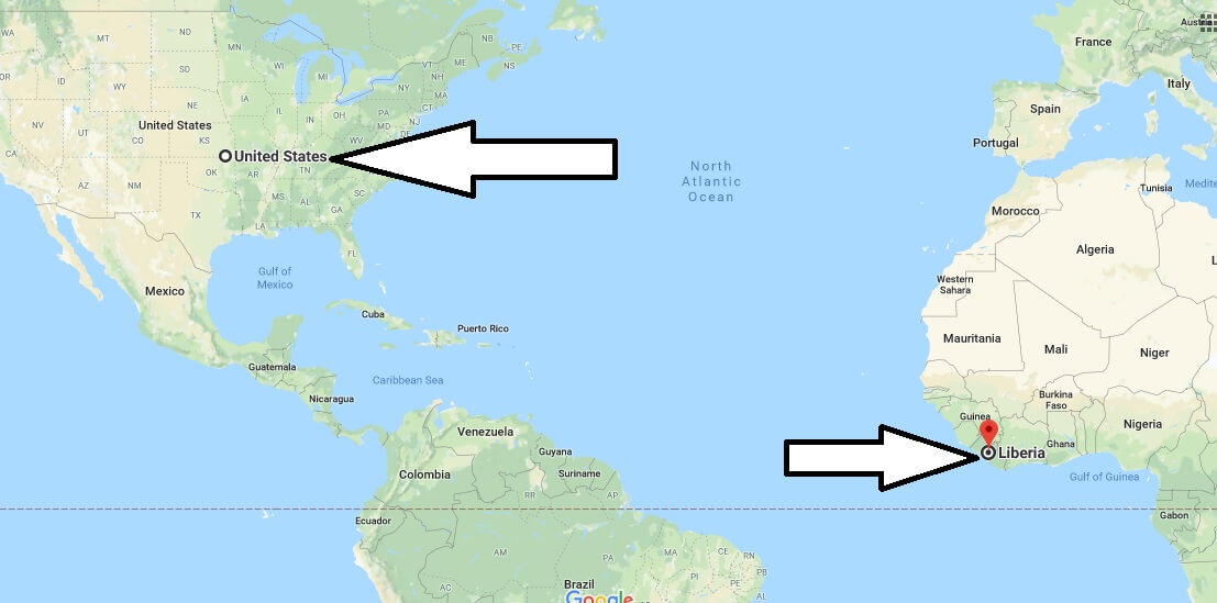
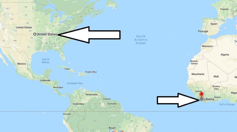
Where is Liberia? / Where is Liberia Located in The World? / Liberia Map – Liberia is a country situated on the North Atlantic Ocean in West Africa. Liberia is located between the Ivory Coast and Sierra Leone, and is surrounded by Guinea in the north, Sierra Leone in the Northwest, and ivory in the East.
Where is Liberia?
Liberia is the oldest country in the African continent governed by the Republic. It is the only country in Africa that has not been colonial. Liberia is governed by the presidential republic system. Liberia consists of 15 regions. The capital of the country and also the most important city is the city of Monrovia. The official language of Liberia is English. The currency is Liberia dollars. American dollars are also used in the country.
40 per cent of the population of Liberia believes in local beliefs, 40 per cent believe in Christianity, 20 per cent believe in Islam. Liberia is a warm breeze and the ideal time to visit is between November and April. Liberia is one of the countries that require visas. There are flights from America to Liberia.
Quick facts
| Population | 3,887,886 |
| Density | 40.4 / km2 ( 104.5 / mi2 ) |
| Language | English |
| Independence Year | 1847 |
| Capital | Monrovia (Montserrado) |
| Currency | Liberian Dollar |
| GDP | 2,026,939,595 (2014 data) |
| GDP per Capita | 521 (2014 data) |
| Land Area | 96,320 km2 (37,189 mi2) |
| Water Area | 15,049 km2 (5,810 mi2) |
| Neighbouring Countries | Guinea, Cote D’Ivoire, Sierra Leone |
| Minimum Longitude | -11.520 |
| Maximum Longitude | -7.370 |
| Mininum Latitude | 4.350 |
| Maximum Latitude | 8.550 |
Map of Liberia
Picture of Liberia

Where is Liberia located in the world?
Is it safe to go to Liberia?
What makes Liberia a poor country?
Is Liberia a developed or developing country?
Why does Liberia have an American flag?
Which country colonize Liberia?

