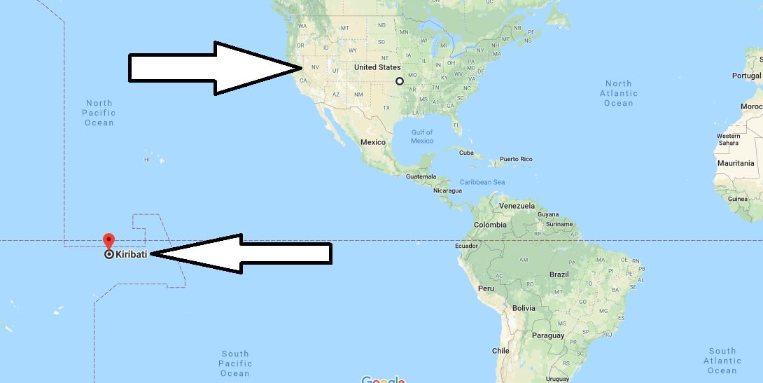
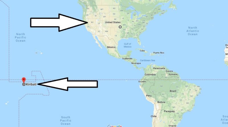
Where is Kiribati? Located in The World? Kiribati Map
Where is Kiribati? / Where is Kiribati Located in The World? / Kiribati Map – Kiribati is a tropical island country and is located in the middle of the Pacific Ocean. The official name of the kingdom of Kiribati is the Republic of Kiribati. The team consists of islands. Kiribati country consists of 33 coral islands.
Where is Kiribati?
The country has an area of 8 thousand square kilometers. Kiribat country is governed by the parliamentary republic system. Kiribati country consists of three regions. The capital of the country is bairiki city. The country of Kiribati was admitted to the United Nations in 1999. Kiribati is the country that has the earliest time zone in the world. Kiribati is one of the poorest countries in the world.
The official language of Kiribati is English and Gilbertese. The majority of the country’s population believes in Christianity. Kiribati has the same temperature in every season and is suitable for every season to visit the country. Kiribati country is one of the countries requiring visas. Kiribati visa applications are made at the UK consulate or Embassy in the United States. Transportation from America to Kiribati is provided.
Quick facts
| Population | 101,998 |
| Density | 125.8 / km2 ( 325.7 / mi2 ) |
| Languages | Gilbertese, English |
| Independence Year | 1979 |
| Capital | Tarawa (Gilbert Islands) |
| Currency | Australian Dollar |
| GDP | 166,762,324 (2014 data) |
| GDP per Capita | 1,635 (2014 data) |
| Land Area | 811 km2 (313 mi2) |
| Minimum Longitude | -174.550 |
| Maximum Longitude | 176.850 |
| Mininum Latitude | -11.450 |
| Maximum Latitude | 4.720 |
Map of Kiribati
Picture of Kiribati

How do you pronounce the country Kiribati?
What is Kiribati known for?
Who found Kiribati?
What is special about the country of Kiribati?
What is the capital city of Kiribati?
How old is Kiribati?
How far above sea level is Kiribati?

