Where is Wales country? Located in The World? Wales Map
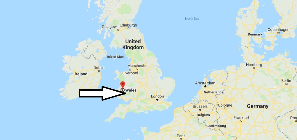
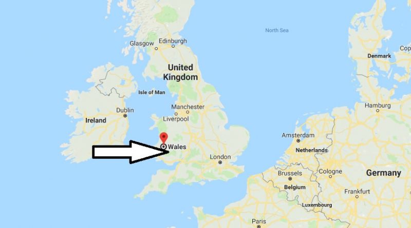
Where is Wales country? / Where is Wales Located in The World? / Wales country Map – Wales is part of The UK and the country where the Welsh live. Wales occupies the southwestern part of the British Isles and the coastal islands in the Irish Sea.
Where is Wales
The eastern border is England. The St George’s Passage separates Wales from Ireland. And the Bristol Channel separates Wales from the Cornwall Peninsula.
Almost throughout the country stretch the Cambrian mountains, which can be both hills and mountains, reaching a height of more than 1000 yards. These mountains, covered with green forests, are considered very ancient and impressive with their beauty. Among the mountains and hills is a lot of beautiful green valleys and lakes with clear blue water.
Wales Country – Quick Facts
| Country | United Kingdom |
| Region Type | Country |
| ISO Code | GB_WLS |
| Time Zone | BST |
| Year of Establishment | 1535 |
| Capital | Cardiff (Population: 302,139) |
| Head of Government | Carwyn Jones |
| Total Population | 3,063,456 |
| Total Area | 20,798 sq km (8,030 sq miles) |
| Population Density | 147.3 sq km (381.5 sq miles) |
Map of Wales
Picture of Wales

Is Wales a separate country?
Is Wales is a part of England?
Where do the Welsh come from?
What is a person from Wales called?
Is Welsh still spoken?
Is Wales a country or a nation?

