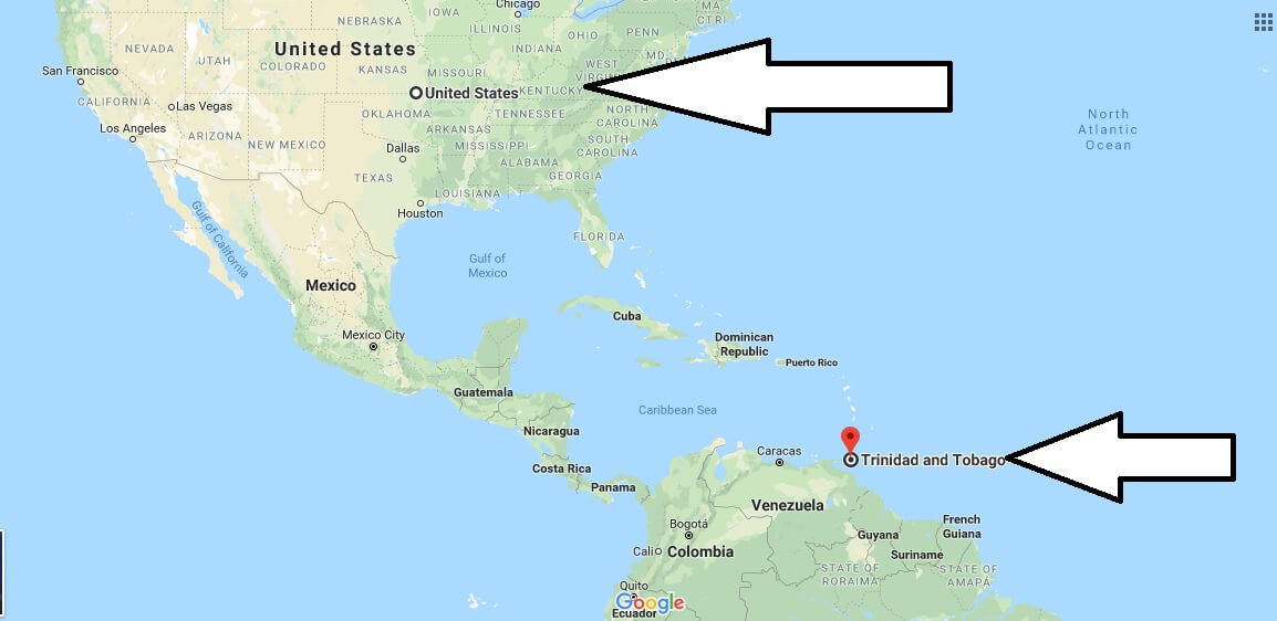
Where is Trinidad And Tobago? Located in The World? Trinidad And Tobago Map
Where is Trinidad And Tobago? / Where is Trinidad And Tobago Located in The World? / Trinidad And Tobago Map – Former British colony, the island state of the Republic of Trinidad and Tobago, located on the border between the Atlantic and the Caribbean, next to Venezuela, unites two large islands of the same name and many small ones.
Where is Trinidad And Tobago?
The predominant in the relief of Trinidad is the plain. On it are three mountain ranges, two of which are located in a clear parallel to each other, and the third is a continuation of the Venezuelan Cordillera. Two rivers crossing the island of Trinidad, flow into the Atlantic Ocean.
The stone ridge is crossed by Tobago, on both sides of which are fertile lowlands and forests. A lot of small rivers and streams on the island contribute to the rapid development of vegetation.
Quick facts
| Population | 1,226,383 |
| Density | 239.2 / km2 ( 619.4 / mi2 ) |
| Language | English |
| Independence Year | 1962 |
| Capital | Port-of-Spain (City of Port of Spain) |
| Currency | Trinidad and Tobago Dollar |
| GDP | 24,433,812,700 (2013 data) |
| GDP per Capita | 19,923 (2013 data) |
| Land Area | 5,128 km2 (1,980 mi2) |
| Minimum Longitude | -61.930 |
| Maximum Longitude | -60.520 |
| Mininum Latitude | 10.040 |
| Maximum Latitude | 11.350 |
Map of Trinidad And Tobago
Picture of Trinidad And Tobago

Is Trinidad its own country?
What are Trinidad’s mixed with?
Is Trinidad part of the United States of America?
What language do Trinidadians speak?
Is Trinidad rich?

