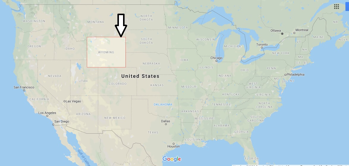
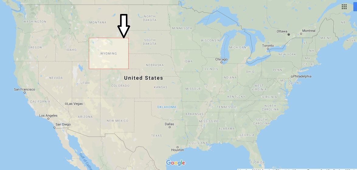
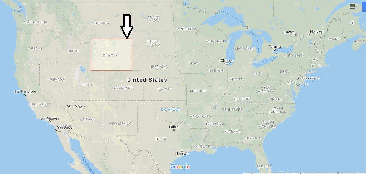
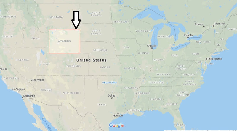
Wyoming Map and Map of Wyoming, Wyoming on Map
Wyoming Map
Wyoming. 44th United States State, located in the Great Plains region. The state capital is Cheyenne and the most important cities are Casper, Laramie, Rock Springs and Gillette. Its territory occupies an area of 253,337 km2, occupying the tenth place at the national level, and is the least populated state in the country, with 563,626 inhabitants in 2010.


Where is the best place to live in Wyoming?
What are the states that border Wyoming?
What is Wyoming is famous for?
Is Wyoming a real state?
What is the most common job in Wyoming?
Is Wyoming expensive to live in?
How much does an acre cost in Wyoming?
What taxes do you pay in Wyoming?
Is Wyoming a good retirement state?

