Botswana Map and Map of Botswana, Botswana on Map
Botswana Map
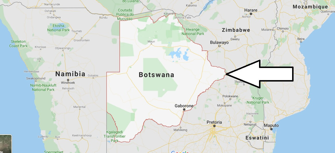
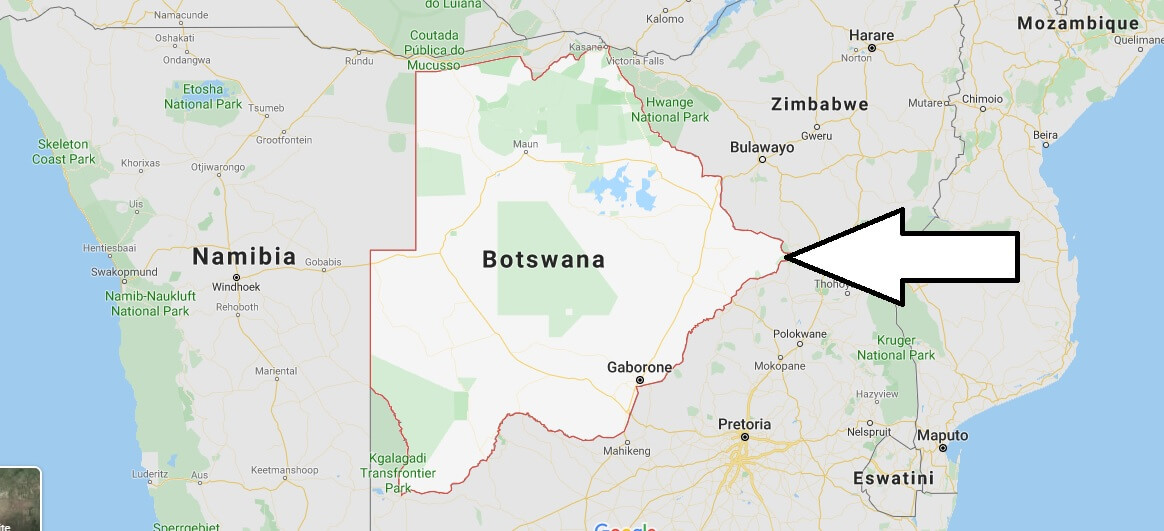
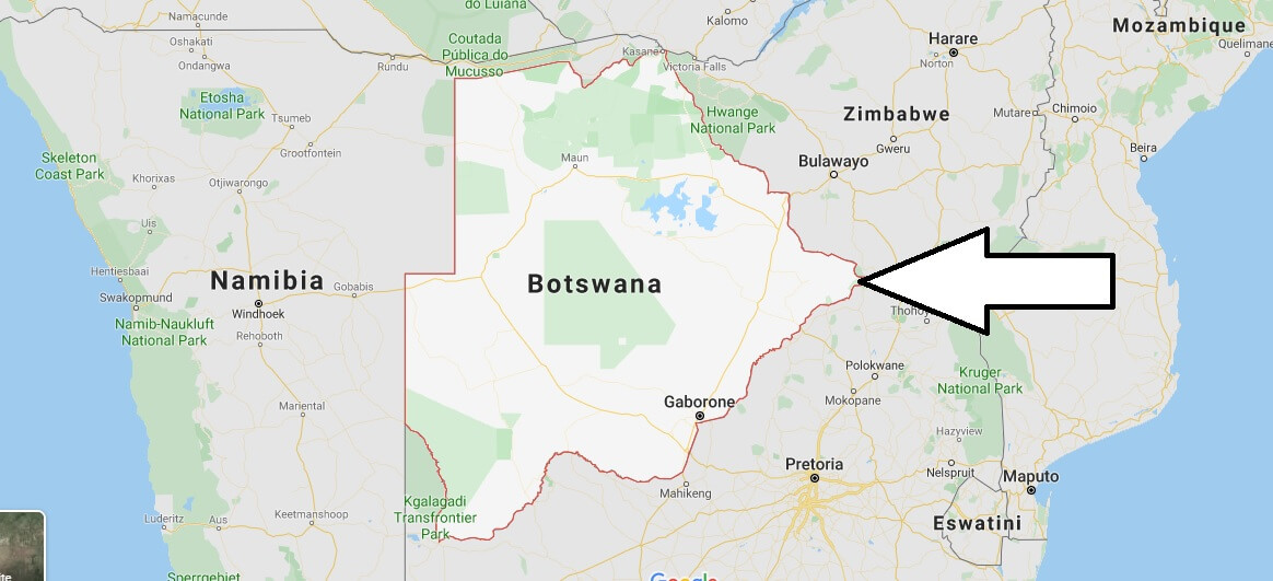
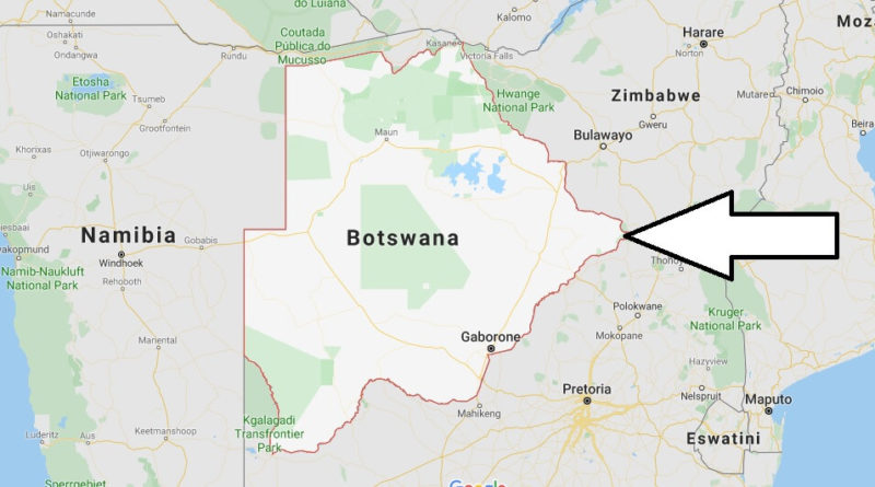
Botswana, whose official name is the Republic of Botswana. Is a country located in southern Africa. It used to be the British Bechuanaland Protectorate. Botswana adopted this name by gaining independence in 1966.
Botswana, which has no outlet to the sea, is bordered to the north by Zambia (2 km), to the East by Zimbabwe (813 km), to the South by South Africa (1 840 km) and to the West and to the north by Namibia (1 360 km). The country is largely covered by the Kalahari Desert, 70 per cent of the total area of the country, especially the North and west of the country.


Best ever content