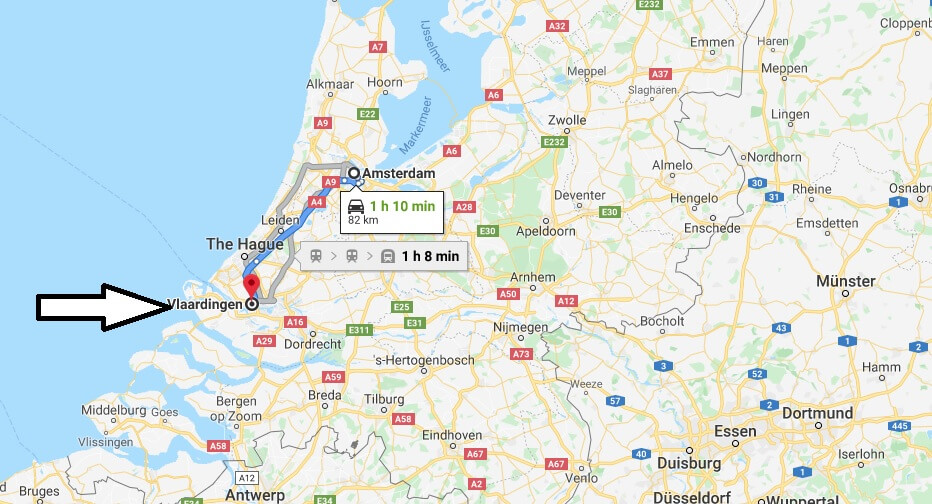
Where is Vlaardingen Located? What Country is Vlaardingen in? Vlaardingen Map
Where is Vlaardingen Located?
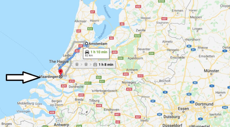
Vlaardingen is located in the Netherlands (Holland) (Gemeente Vlaardingen, South Holland) in the Europe/Amsterdam time zone. Places of interest in Schiedam, Maassluis and over various are.
What Country is Vlaardingen in?
Vlaardingen is a town and a municipality in the Netherlands, province of South Holland. Its total area is about 26.7 km2. On 30 September 2018 Vlaardingen had 72,455 inhabitants.
Vlaardingen is located on the northern shore of the Nieuwe Waterweg channel between Rotterdam and the North Sea. The municipality is bordered to the northwest by Westland, to the West by Maassluis and to the East by Schiedam. It is located on the railway line between Hoek van Holland – Rotterdam and the motorways of the Rotterdam harbour area Europoort and Maassluis.
Vlaardingen Map